
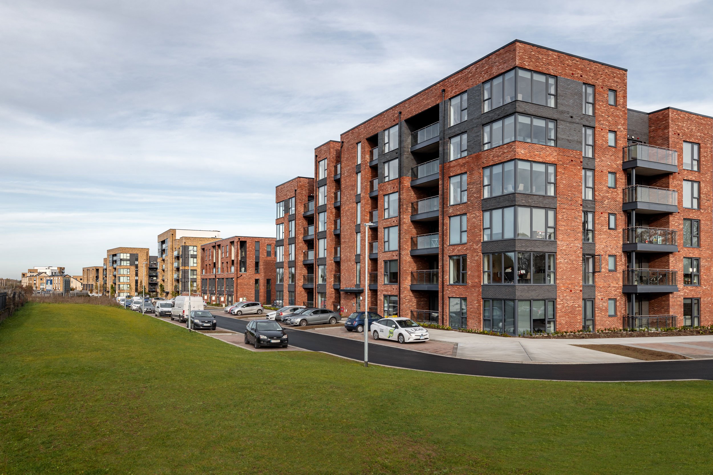
Portmarnock
Project Overview
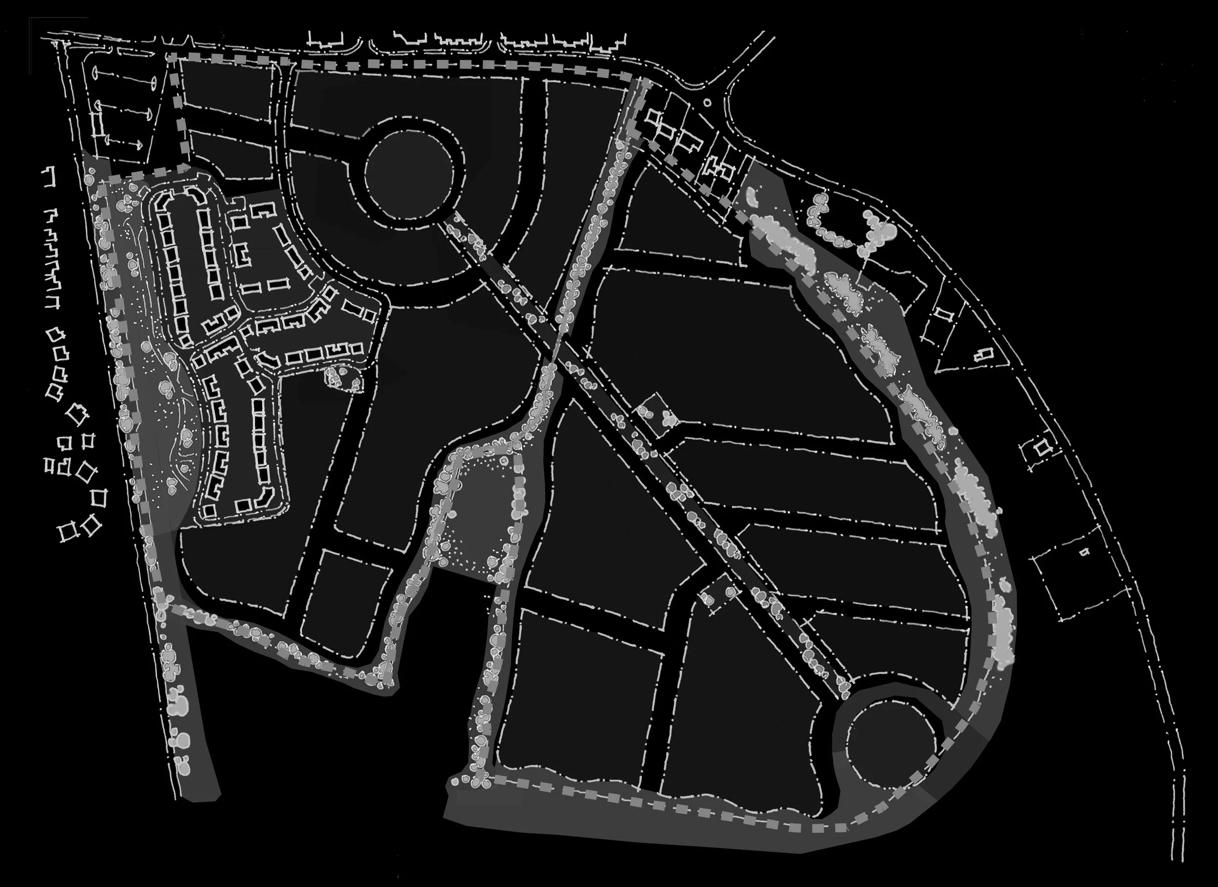
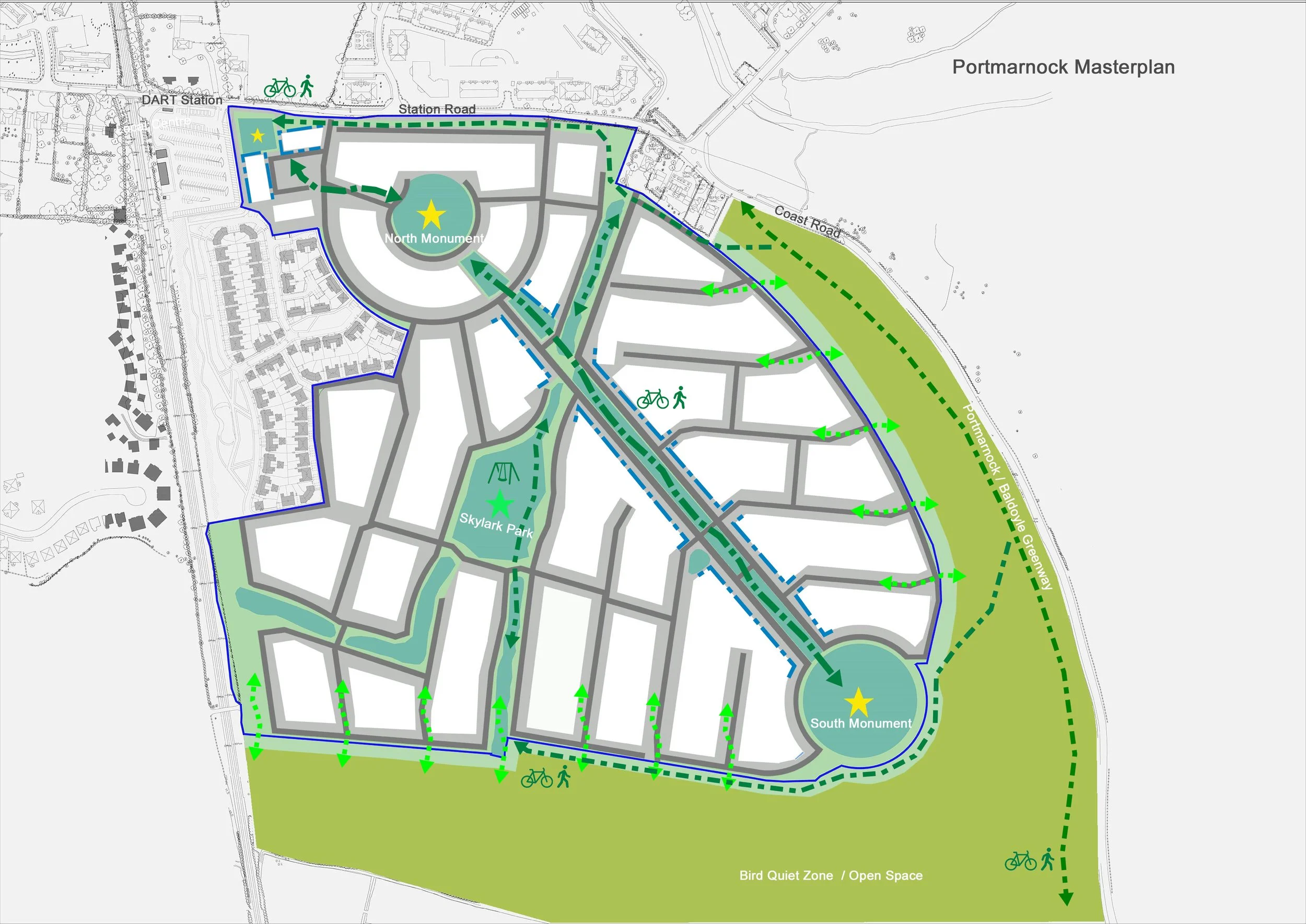
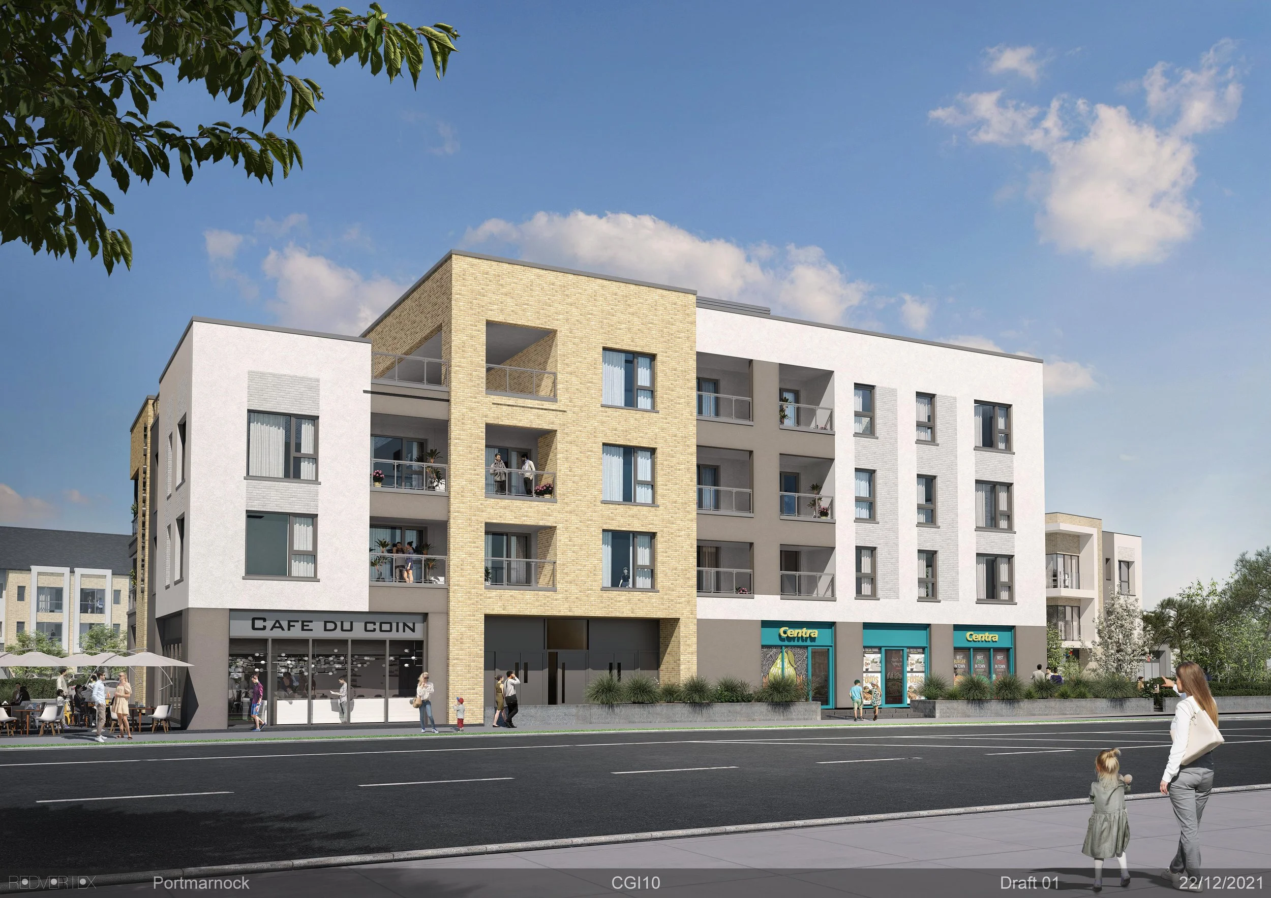
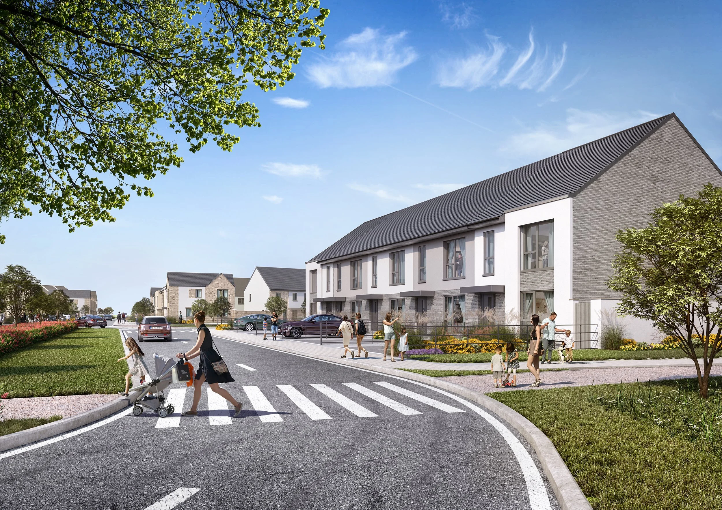
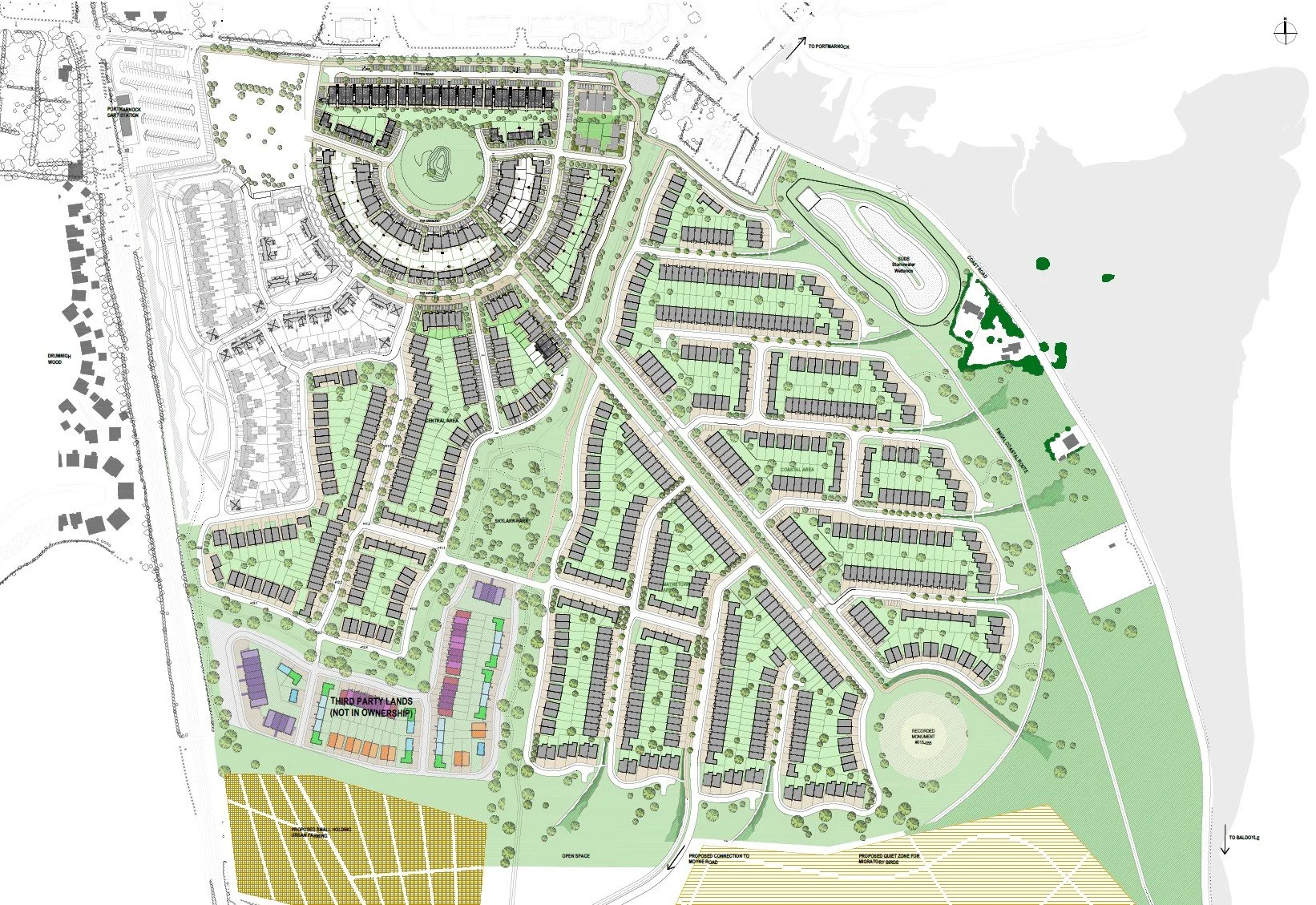
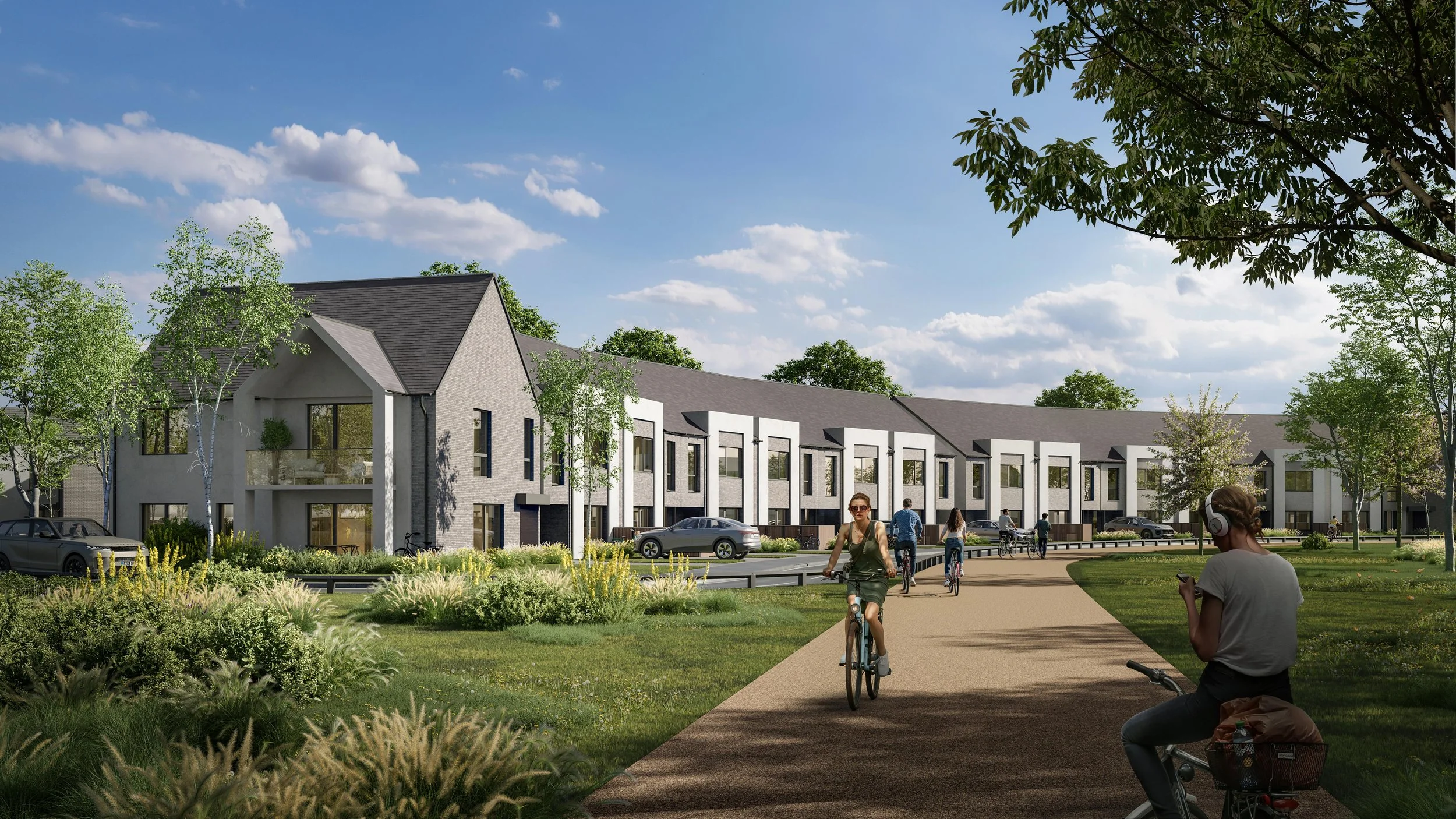
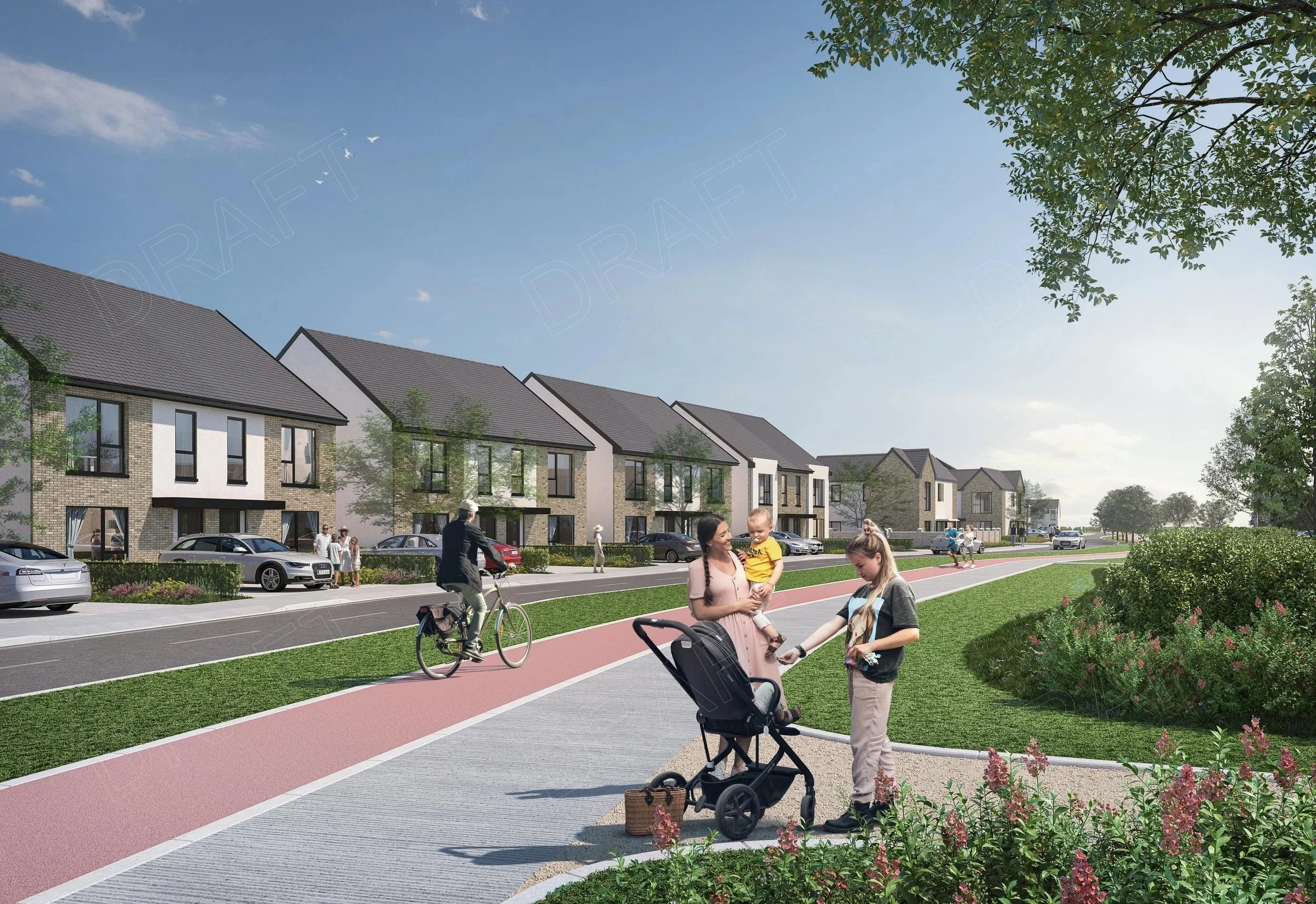
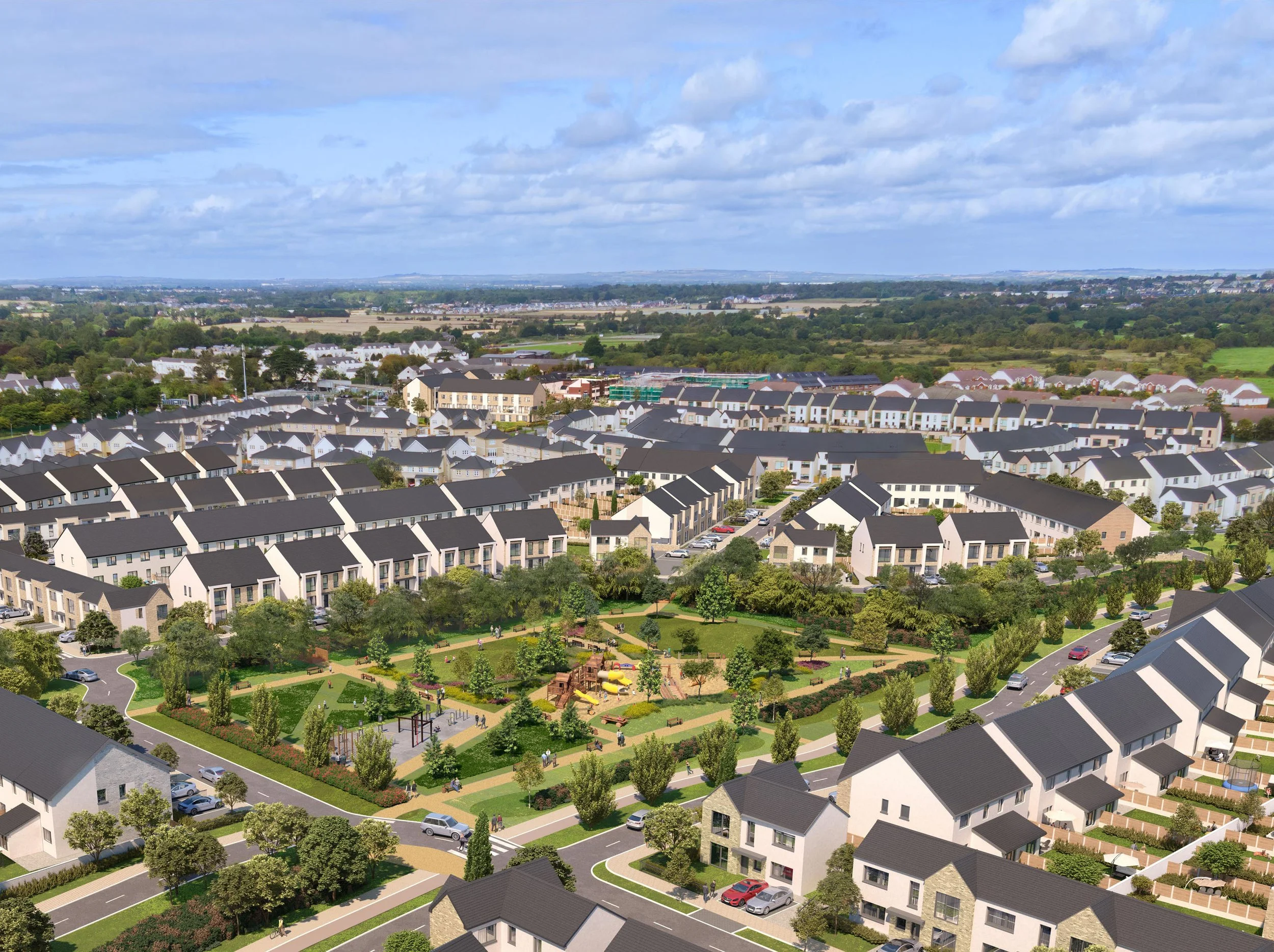
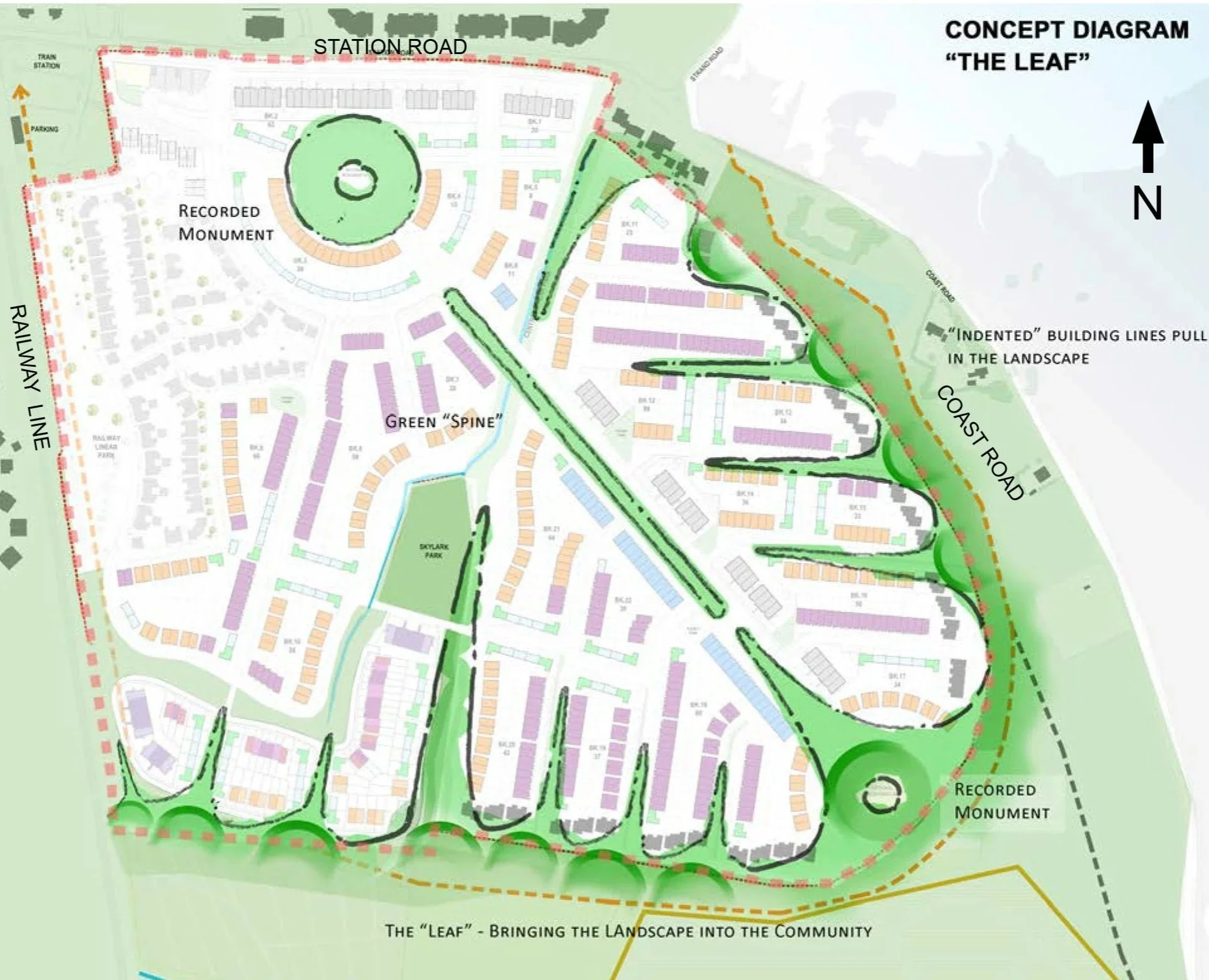
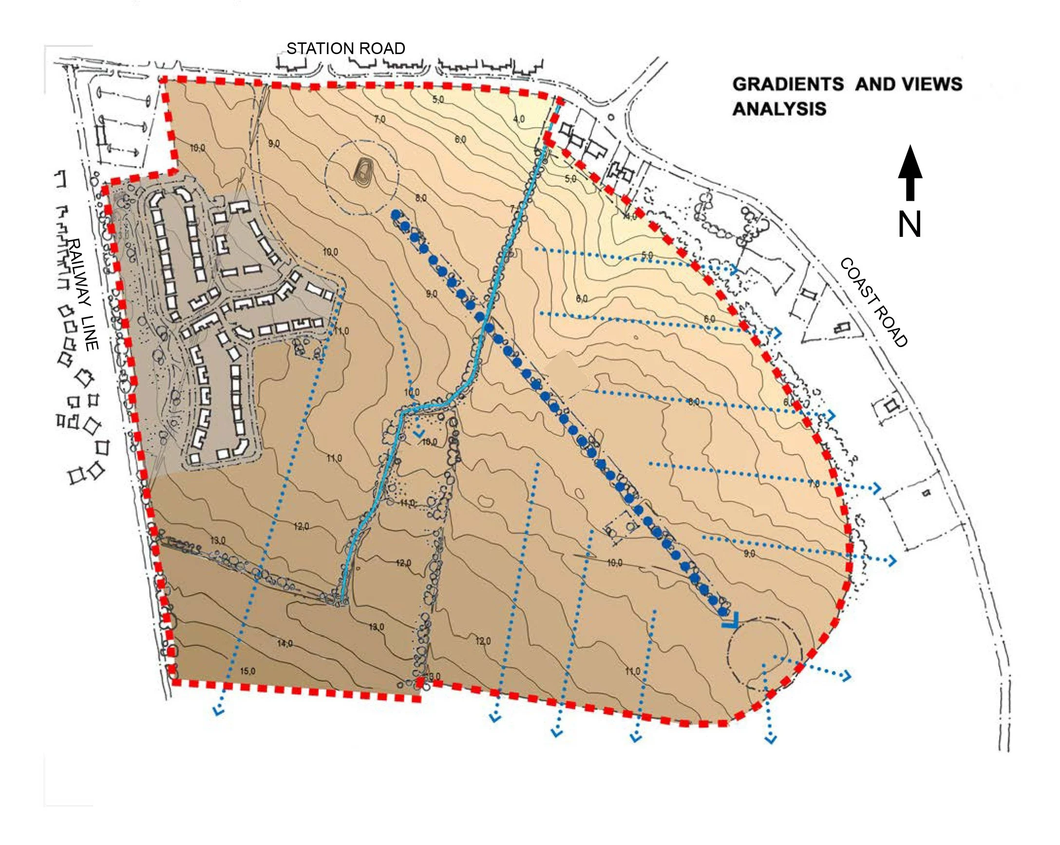
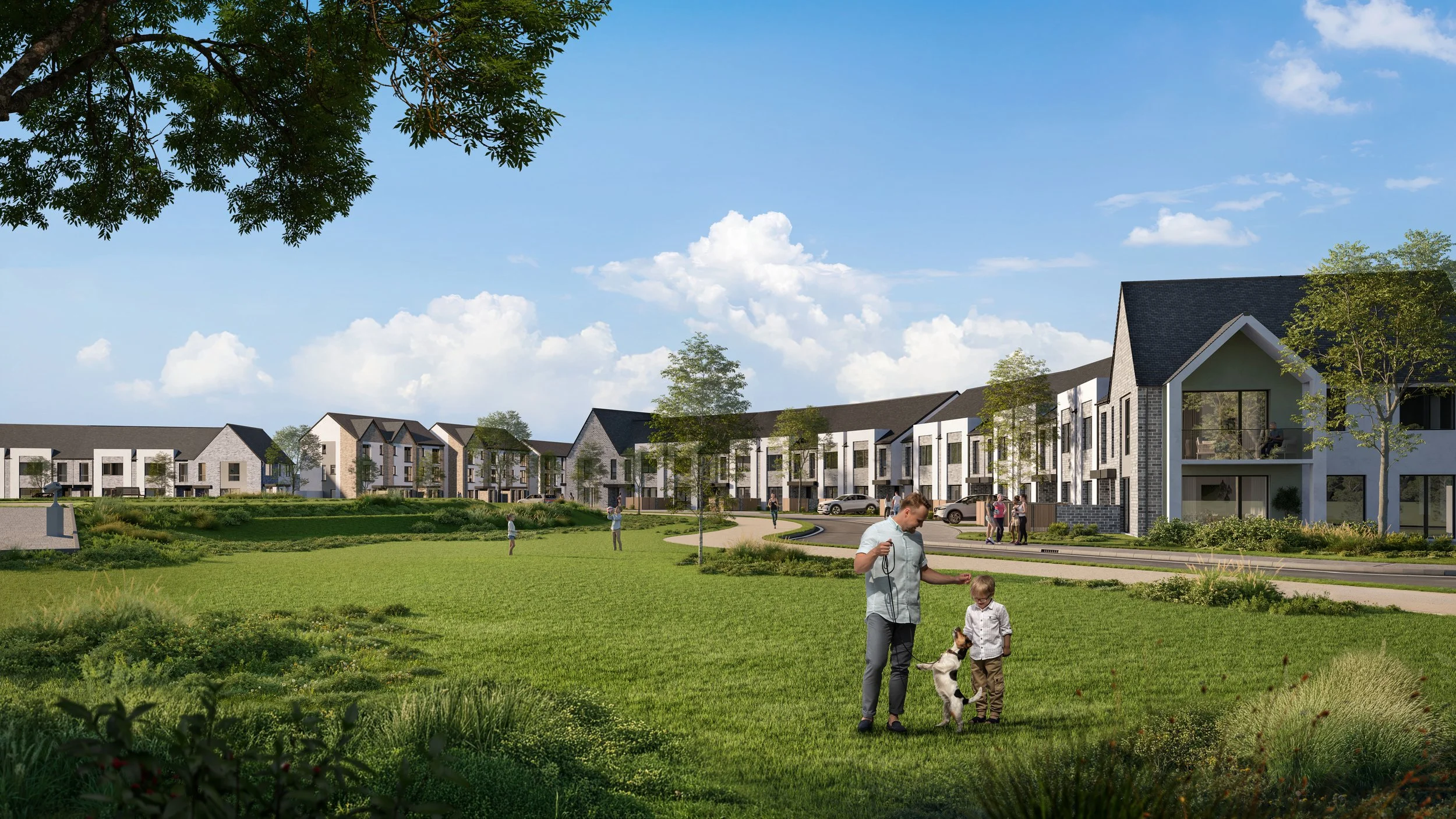
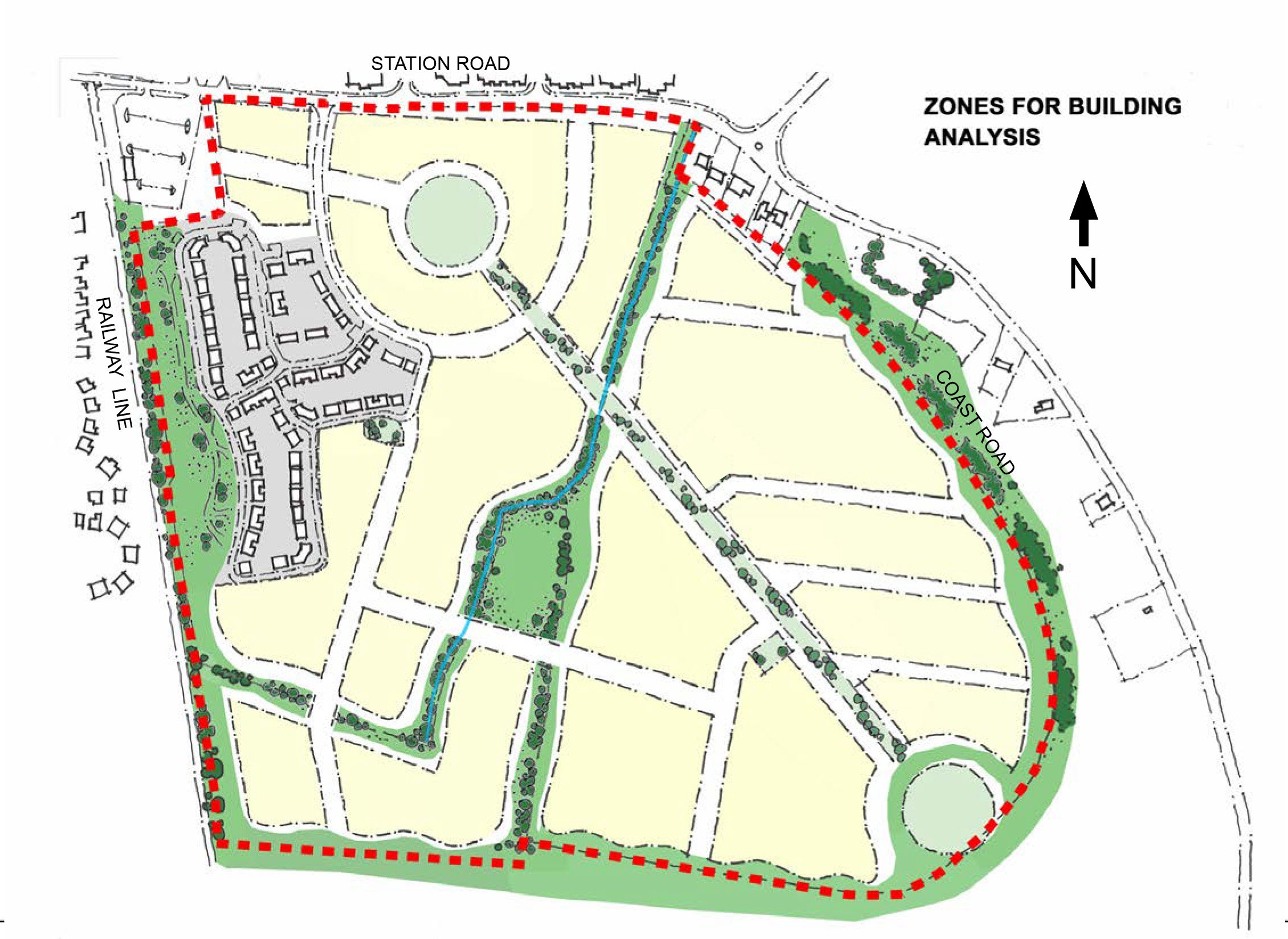
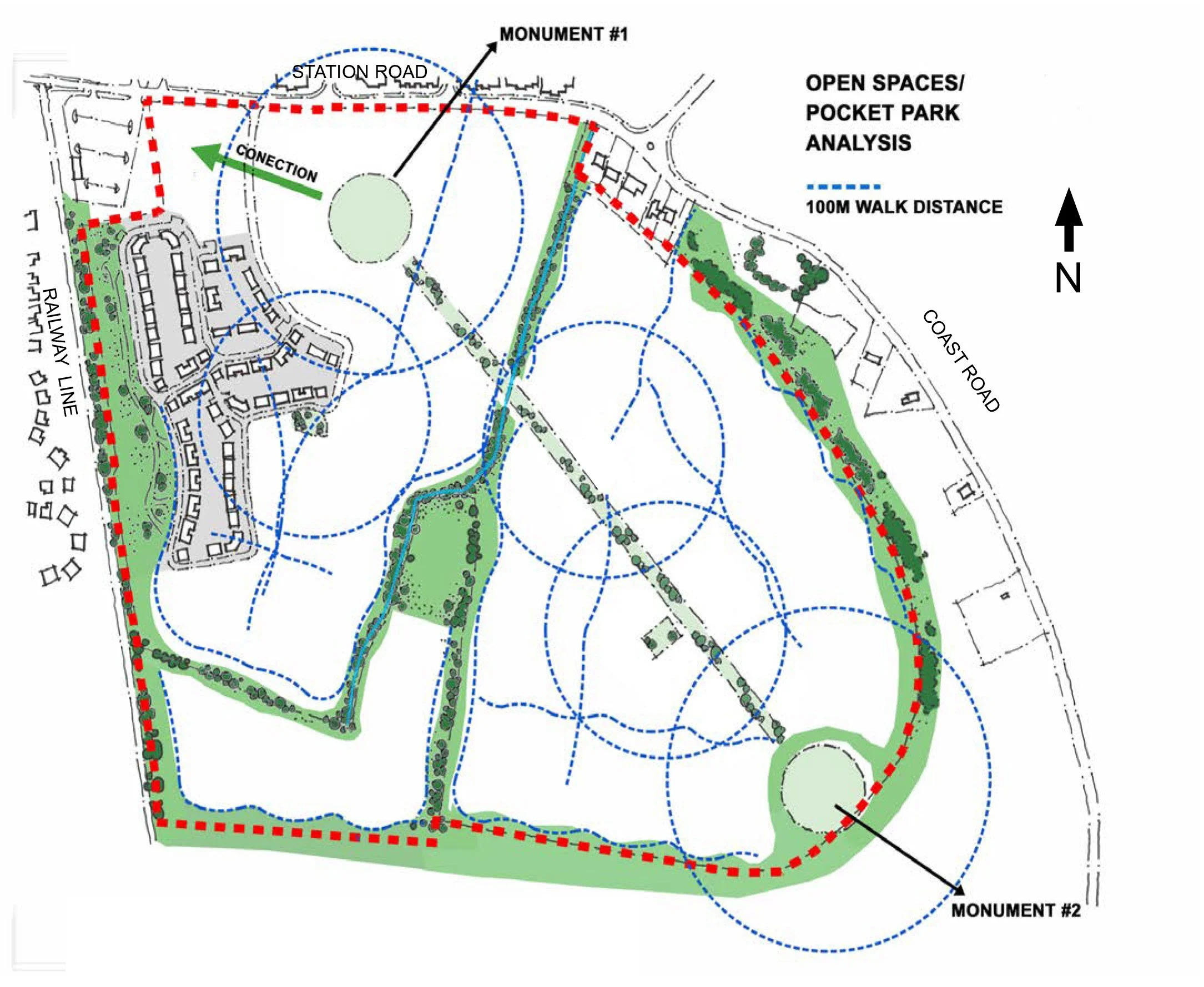
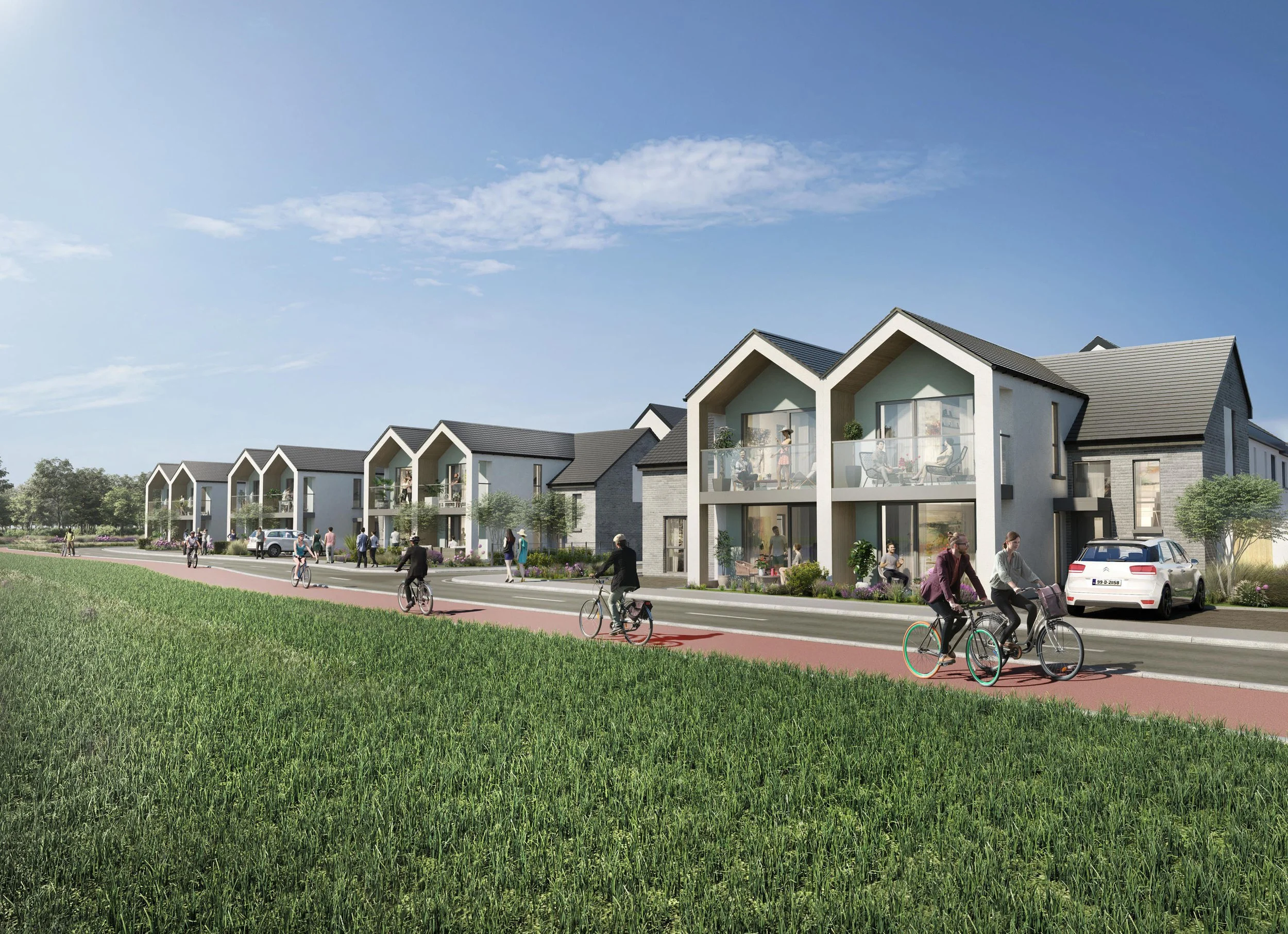
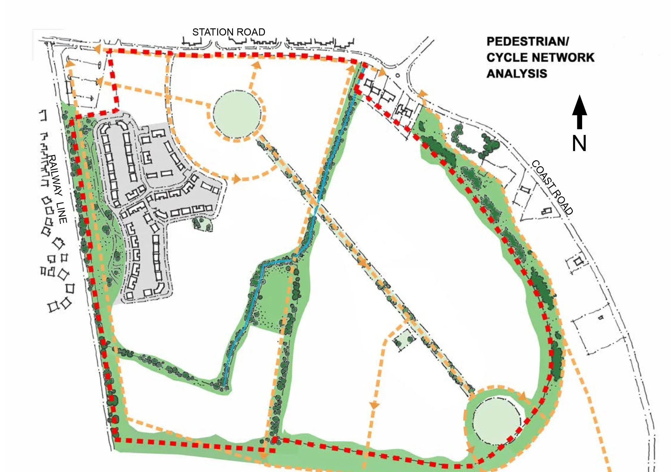
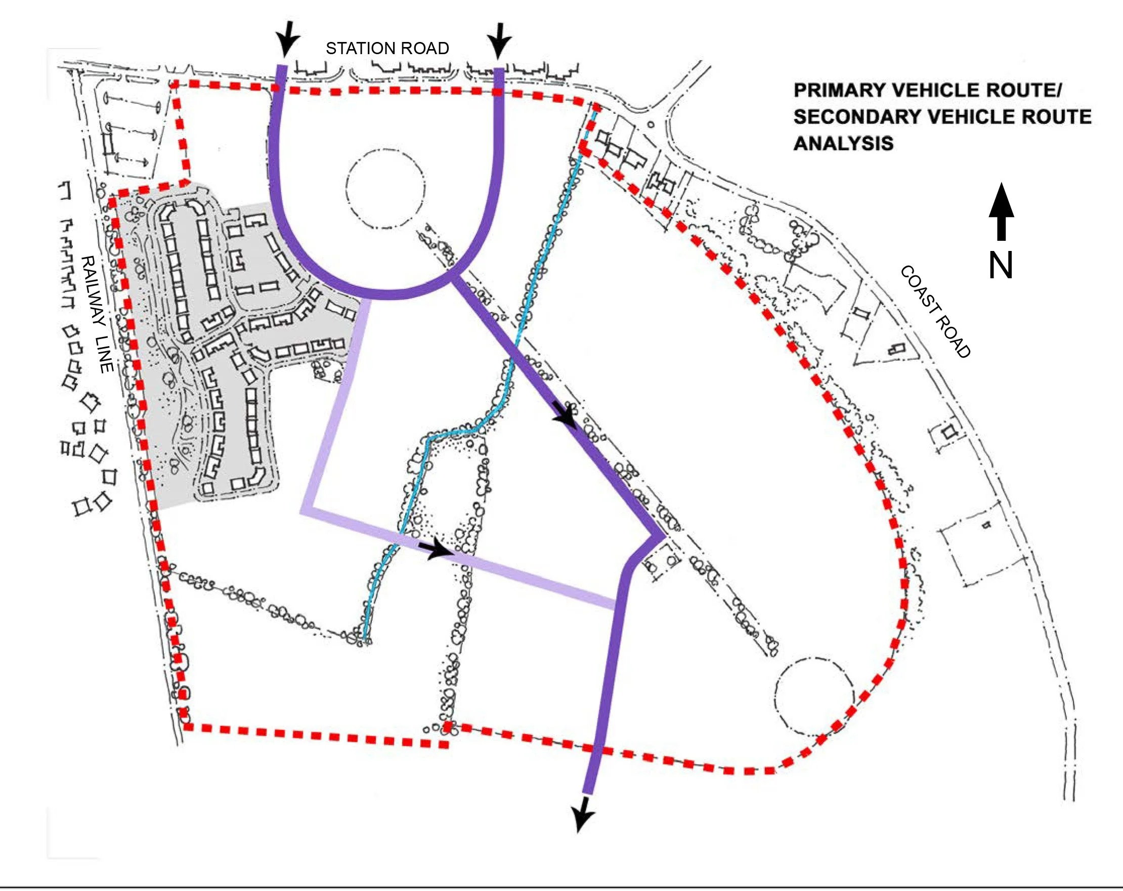
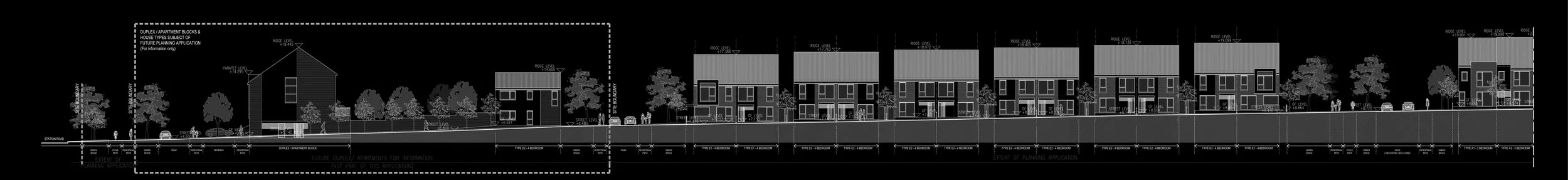
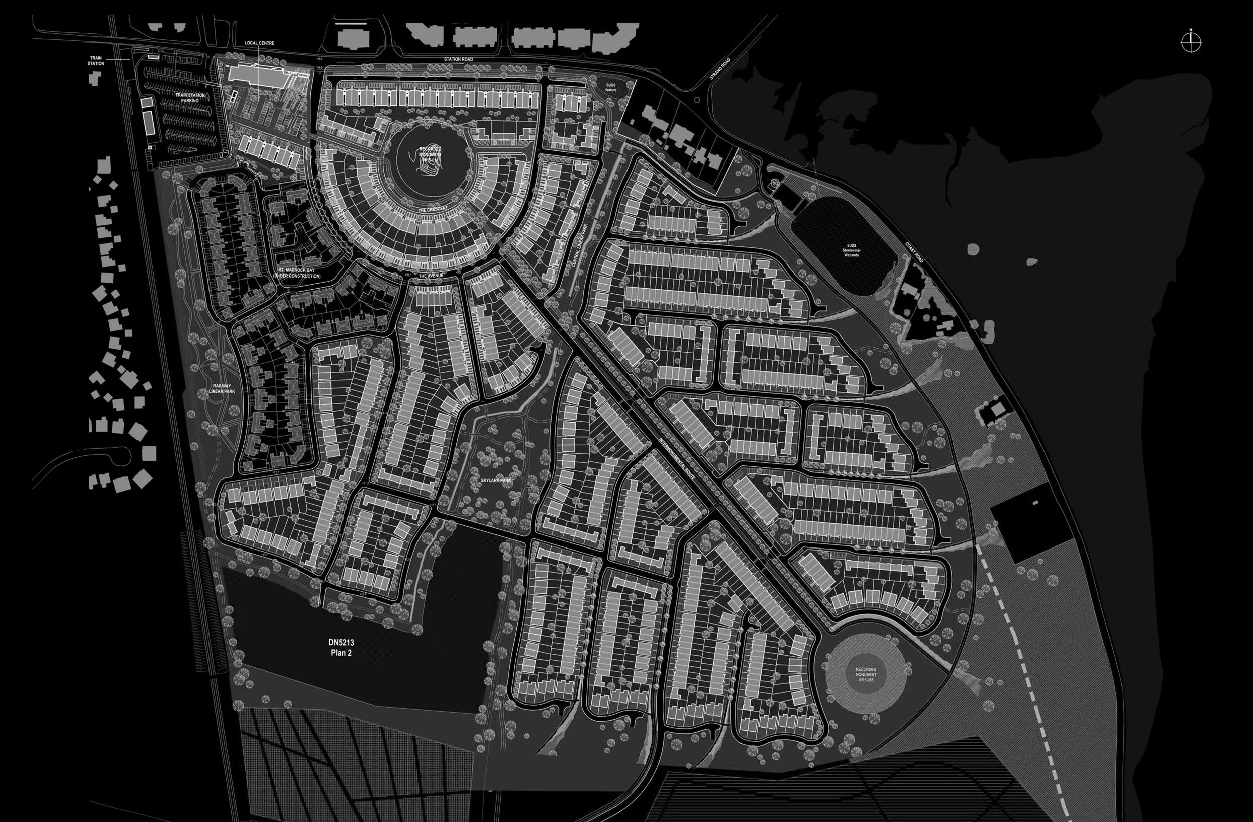
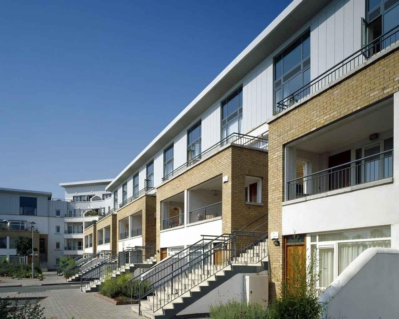
BKD developed a Framework Masterplan that was heavily influenced by the setting, the existing hedgerows and the archaeological features of this key site overlooking the Coast Road and Baldoyle Estuary. The evolving masterplan was divided by the Inter Monumental Route linking the two recorded monuments at either end of the site, and developed into a form resembling a leaf, with indented edges to draw in the landscape from the adjoining open spaces. The resulting streets created controlled lines of sight and views from the central spine out towards the open landscape and estuary beyond and the alignment of the existing hedgerows defined new parks and pedestrian and cycle routes. The recorded monuments themselves informed the curved plan form of the adjoining building lines to create highly distinctive locations within the framework. At the northwestern corner of the site the Local Centre and a new public space created a pedestrian gateway to the development when arriving from the Portmarnock DART Station.
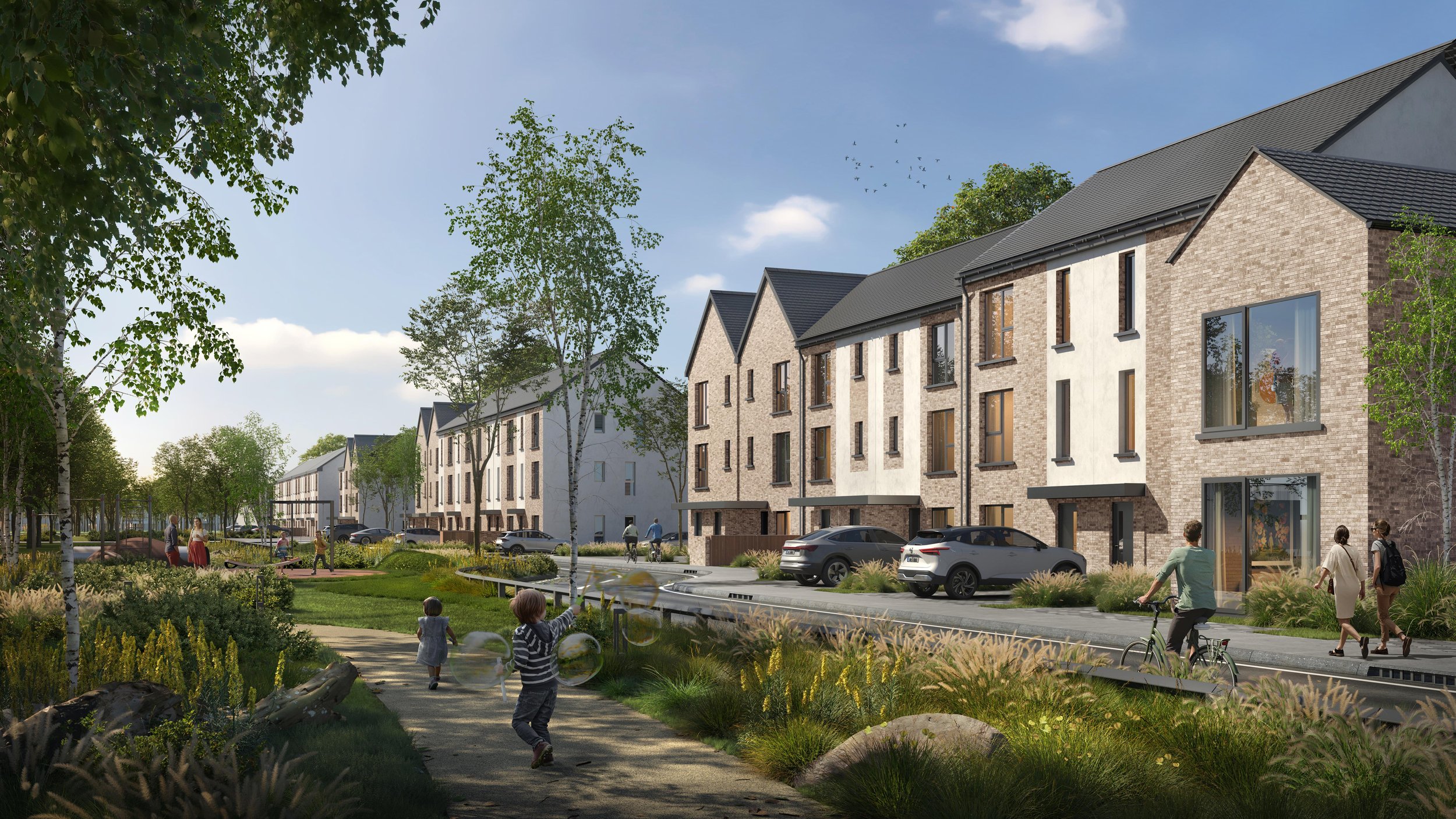
The Masterplan was used as the framework to guide a series of planning applications that allowed the development to be phased in a coherent manner to deliver over a thousand new homes on site.
Client: Evara
Site Area: 31Ha
Unit No. 1,085
Units per Ha: 35
More Like This
Citywest
Waterville, Blanchardstown
Dundrum
Technical University of the Shannon
Kilbride, Arklow
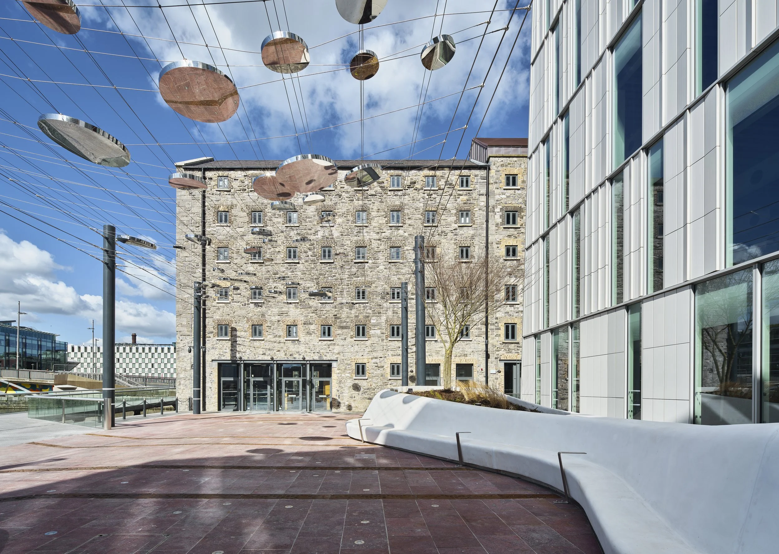
Bolands Mills
Kilcarbery