
Kilcarbery
Project Overview
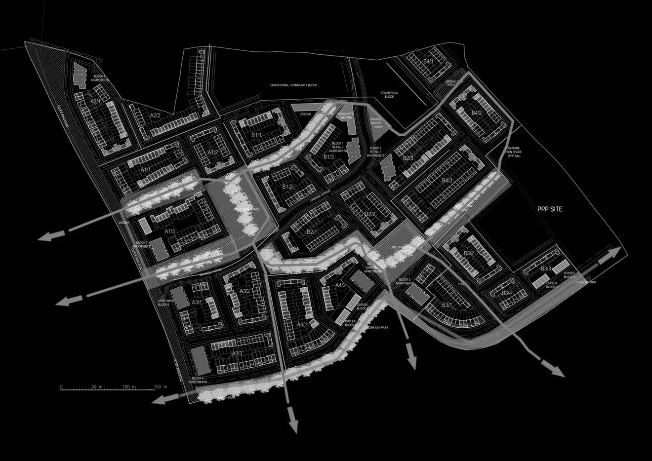
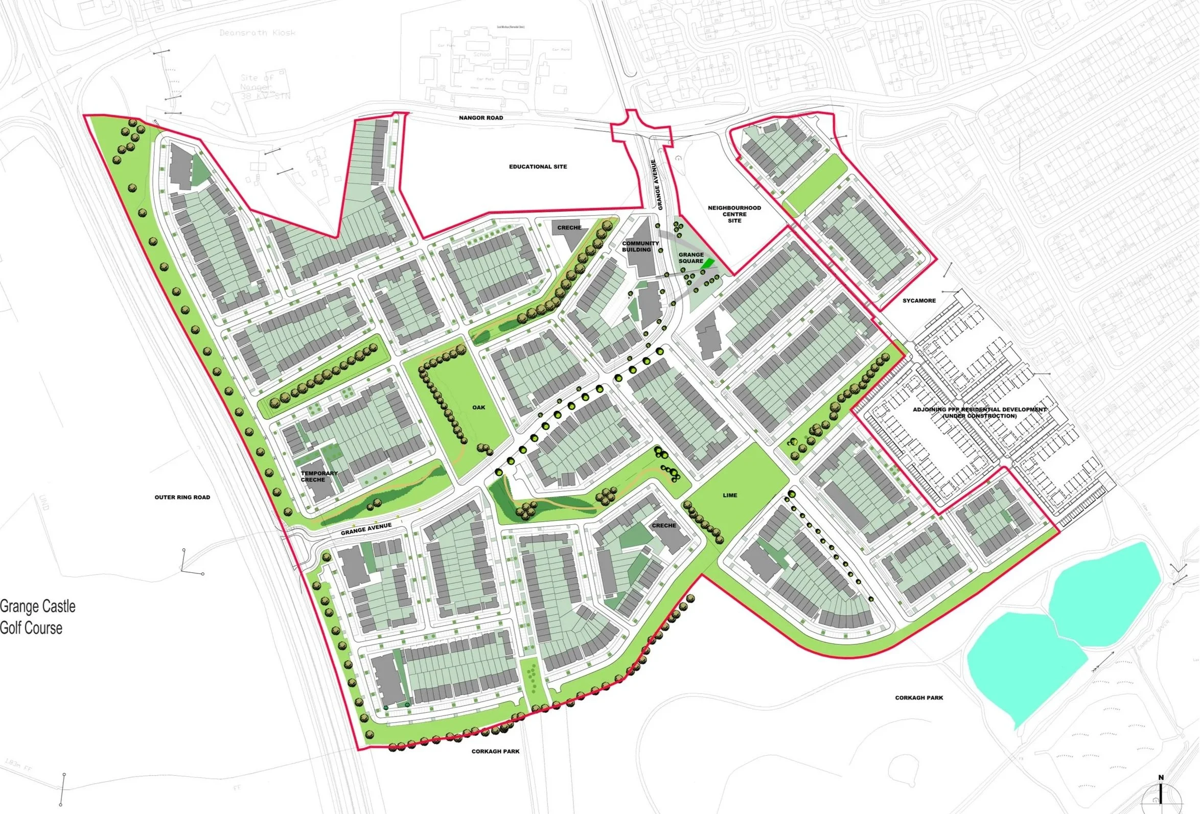
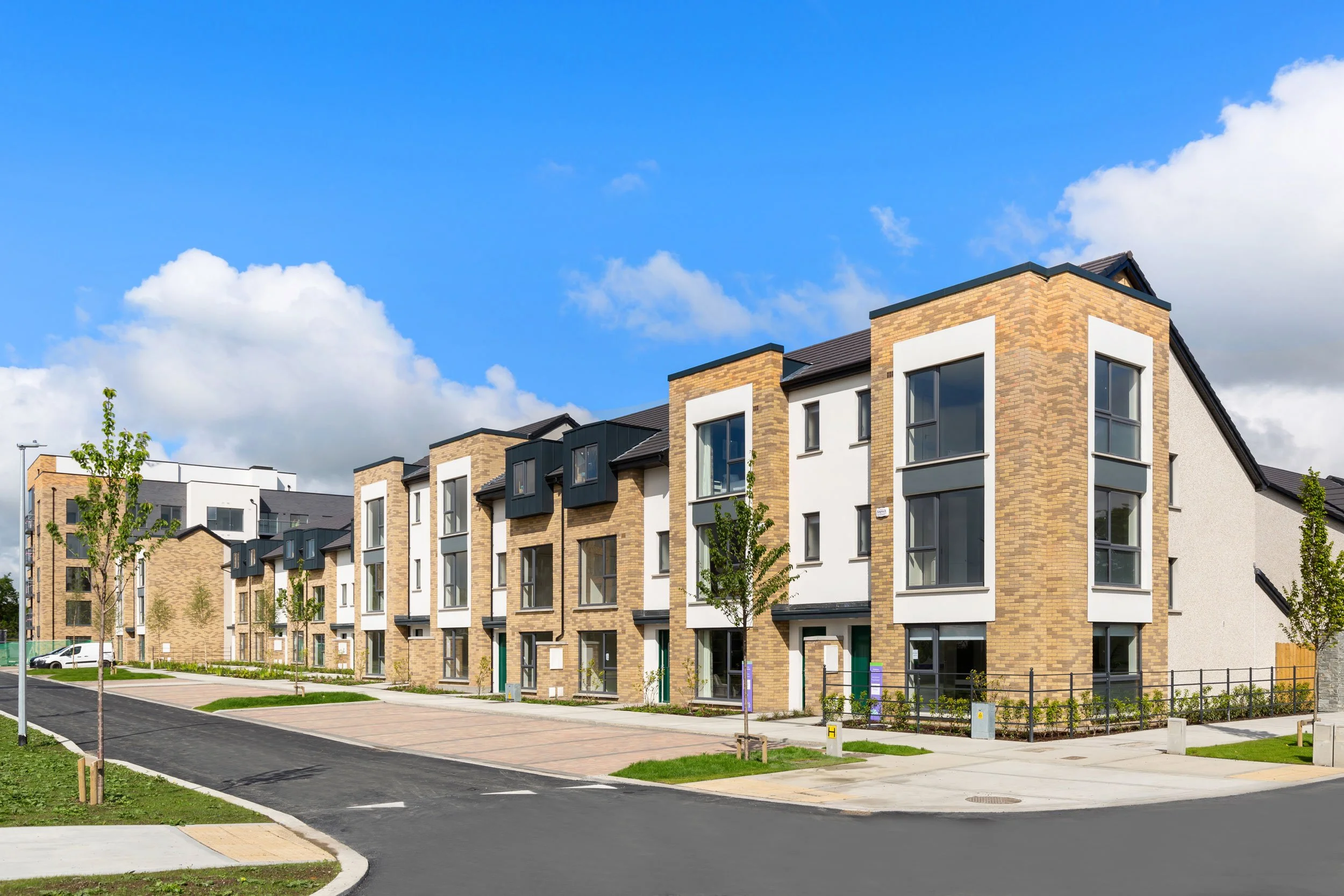
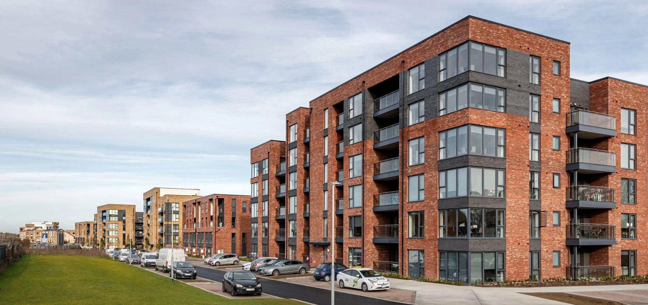
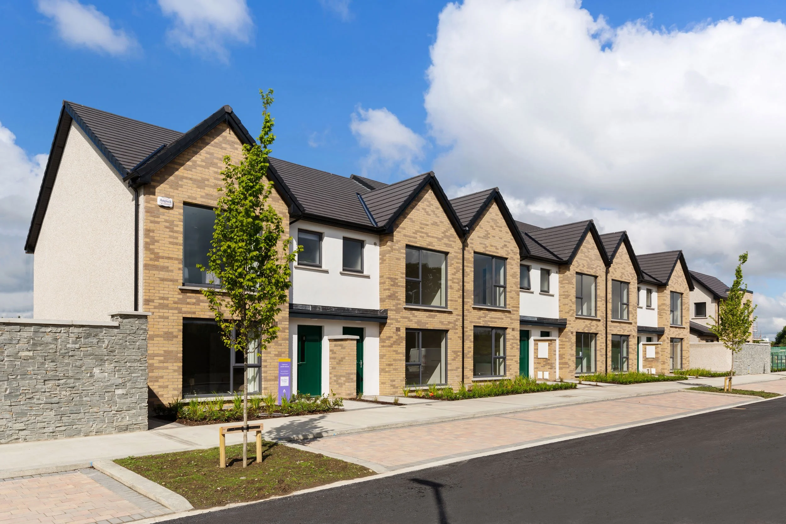
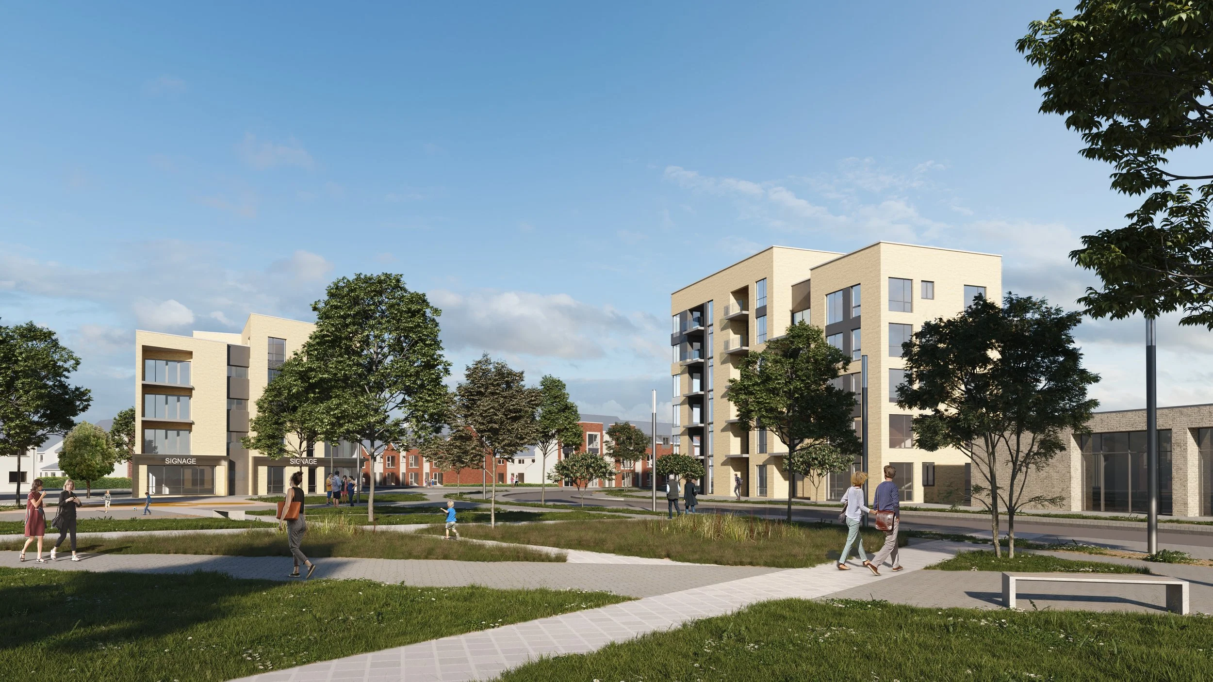
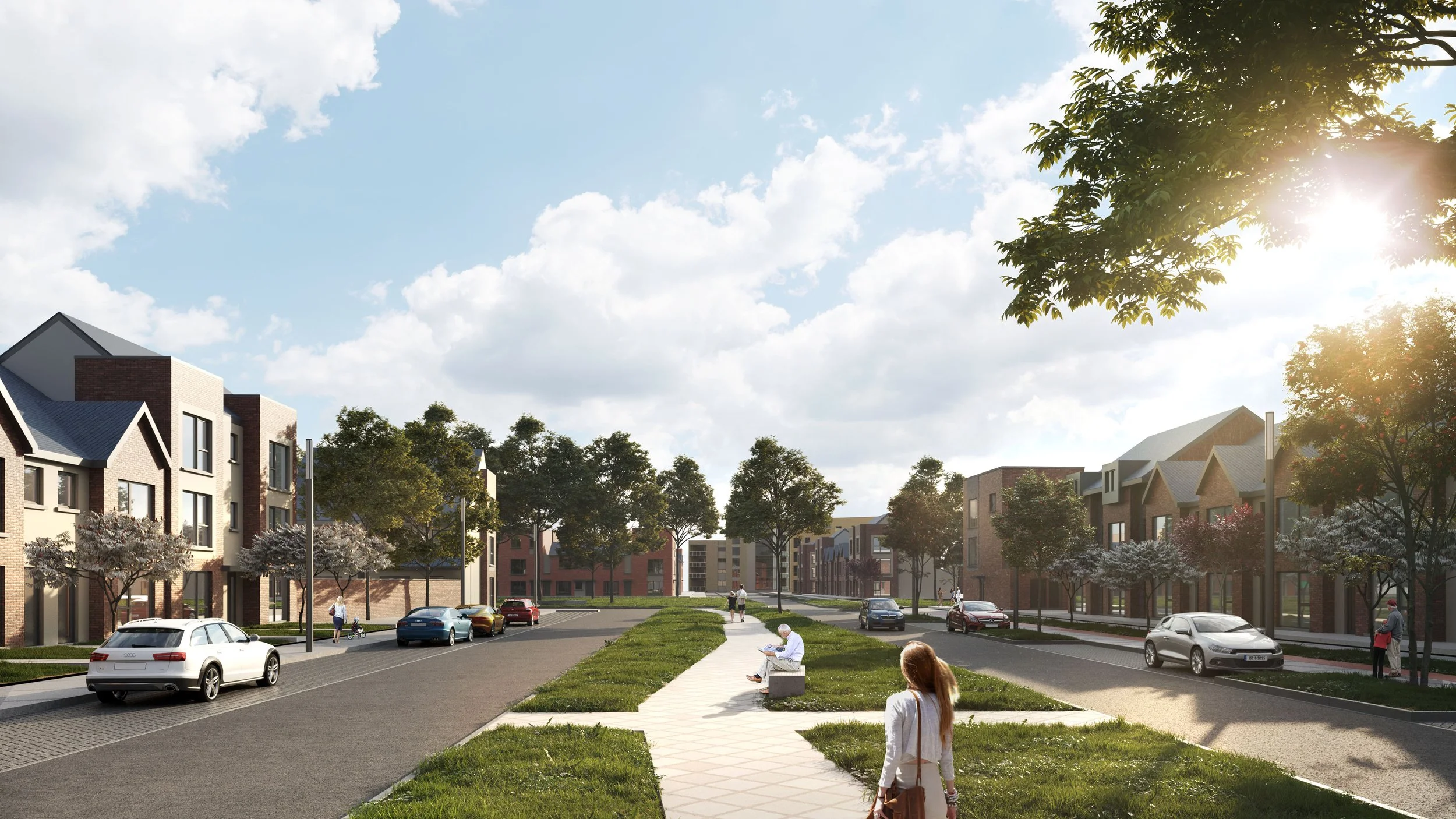
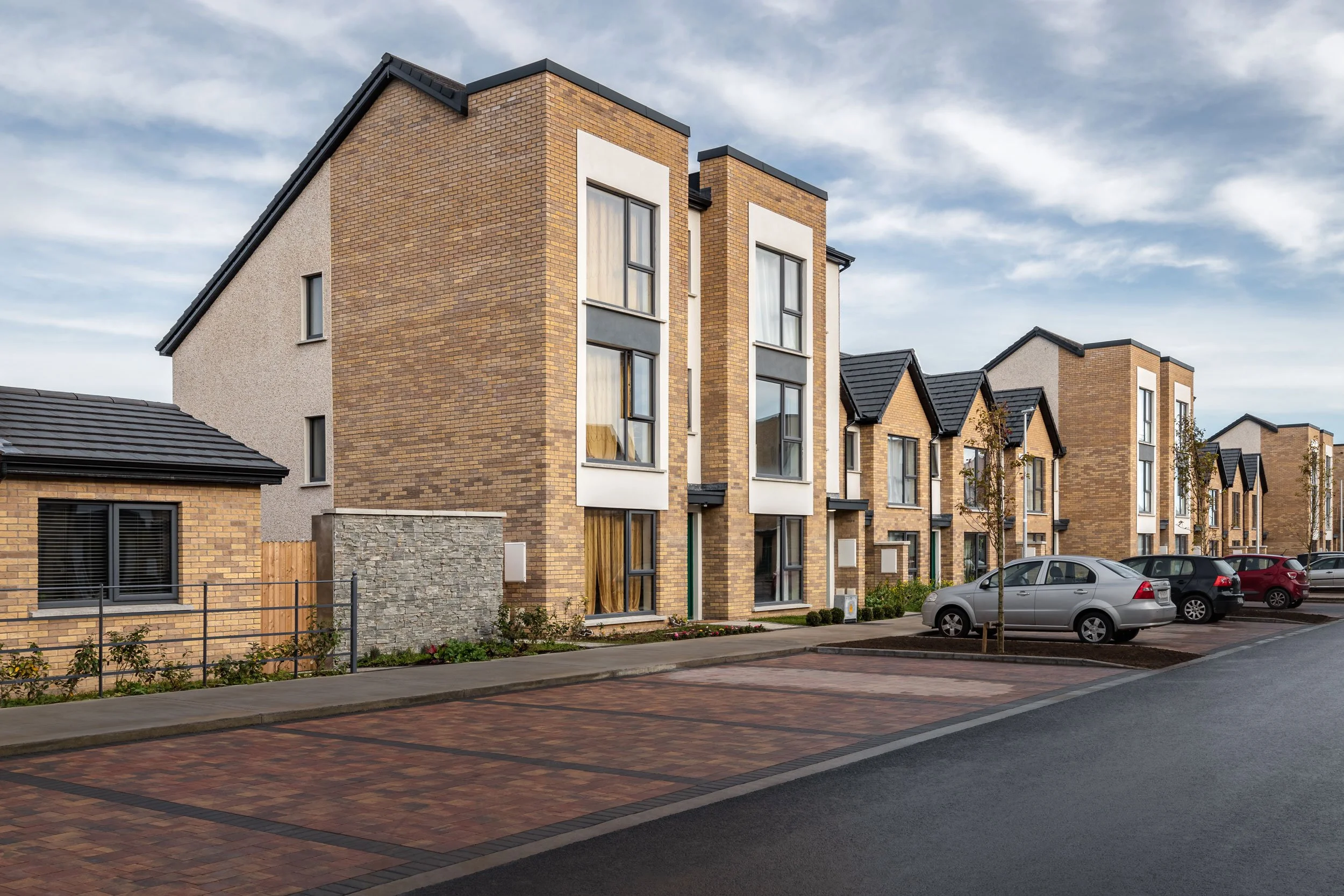
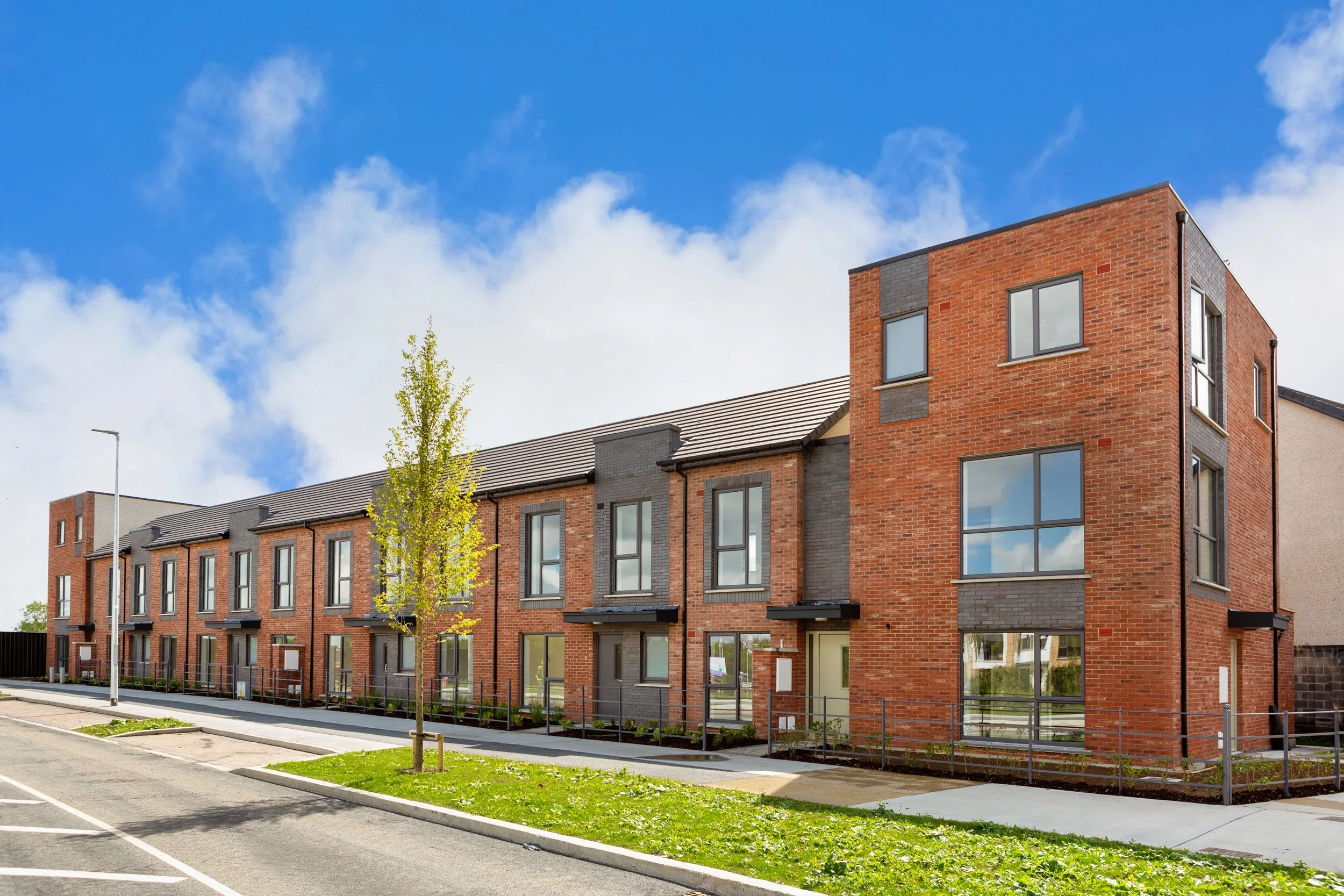
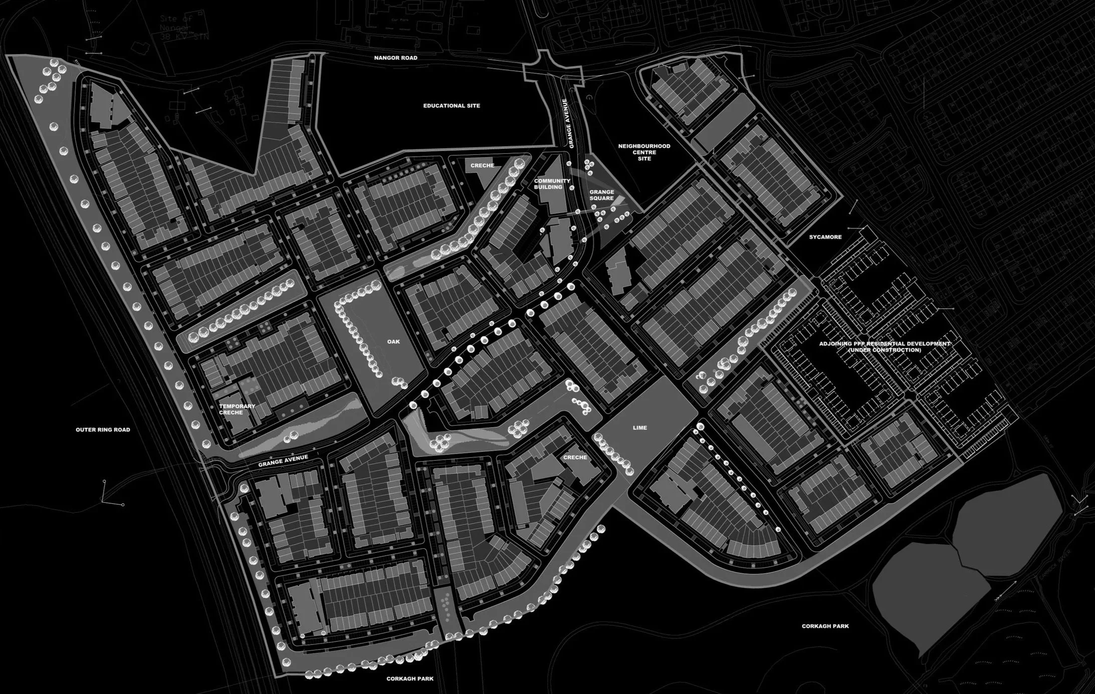
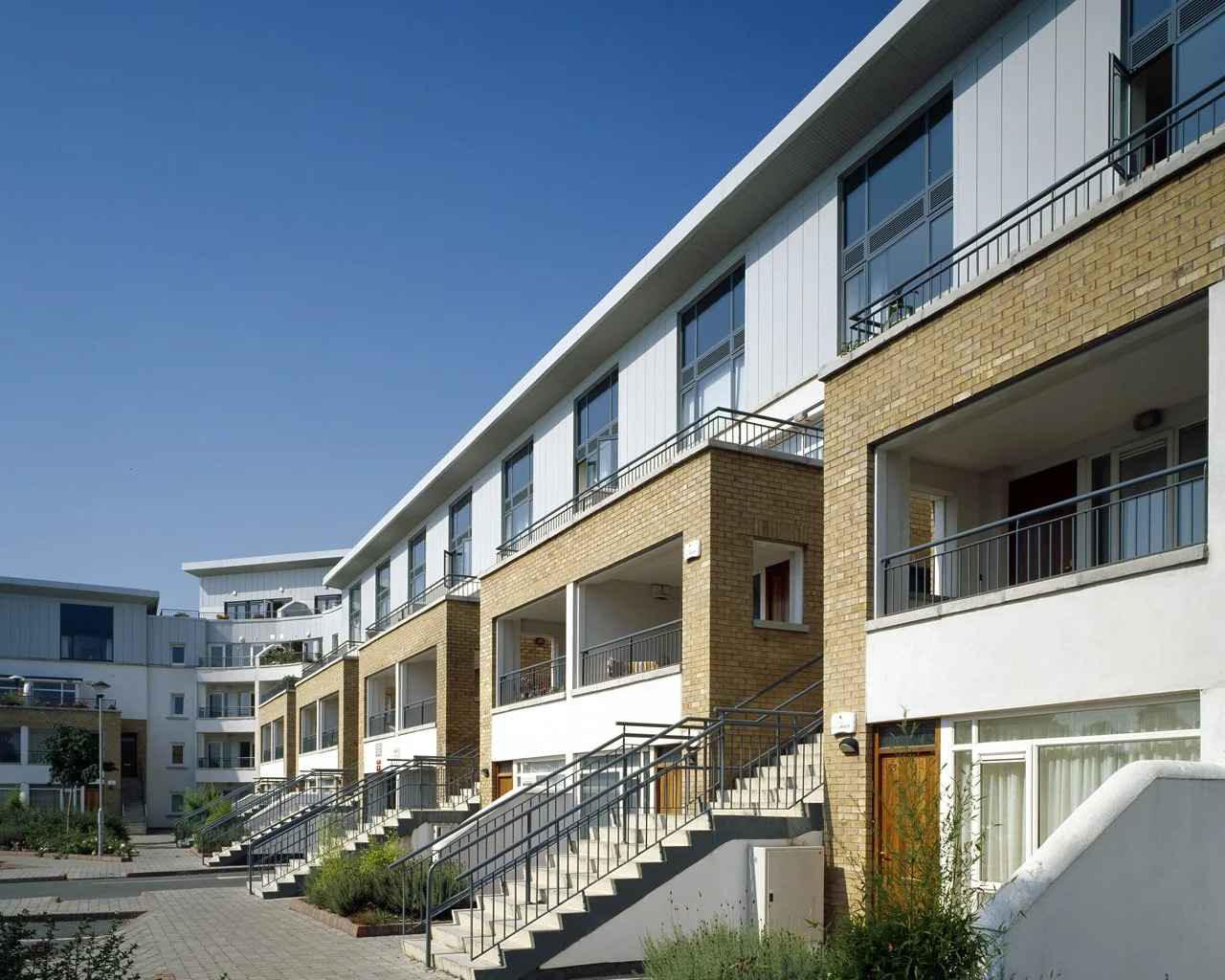
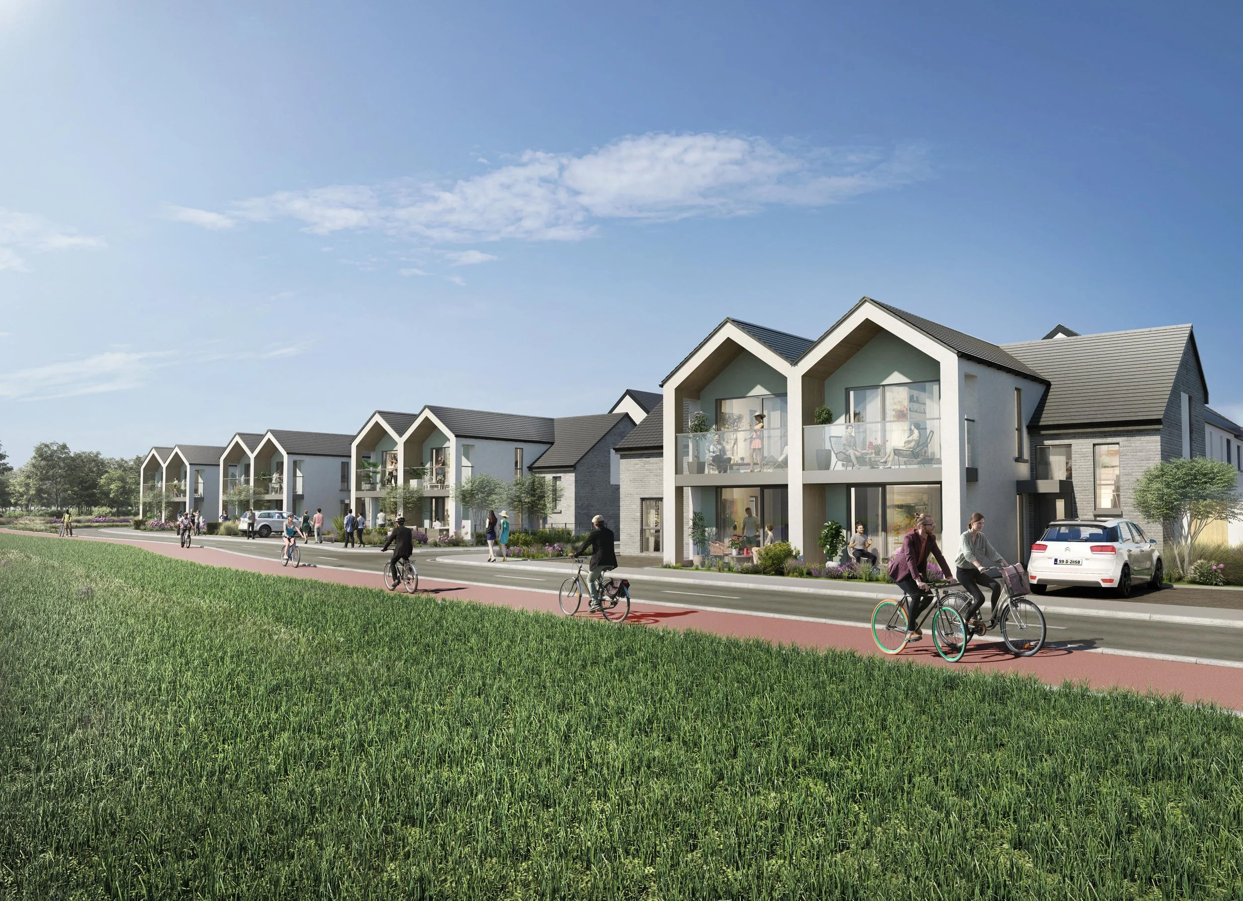
1,043 high-quality homes have been provided in a thoughtfully planned mix of houses, duplexes, and apartments, ranging from two to six storeys in height. Complementing the residential offering are key community amenities, including a childcare facility, a community centre, and a local retail unit — all designed to support everyday living.
Social housing makes up 30% of the total units and is fully integrated throughout the development. These homes are designed to match the appearance and quality of the private residences, fostering a truly inclusive and cohesive community.
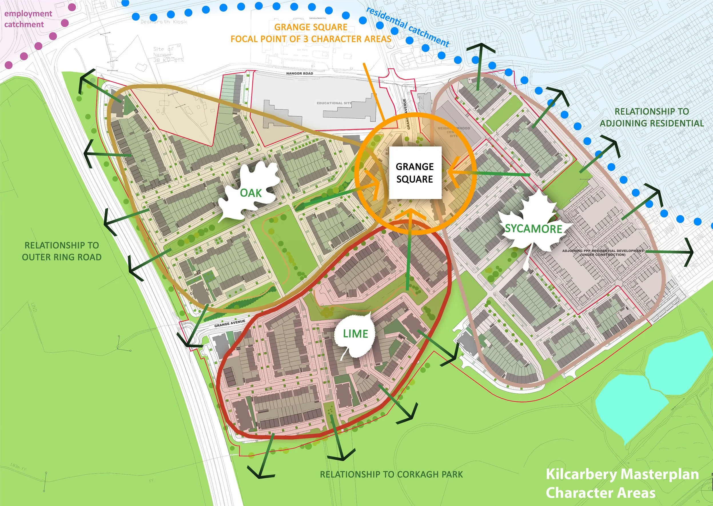
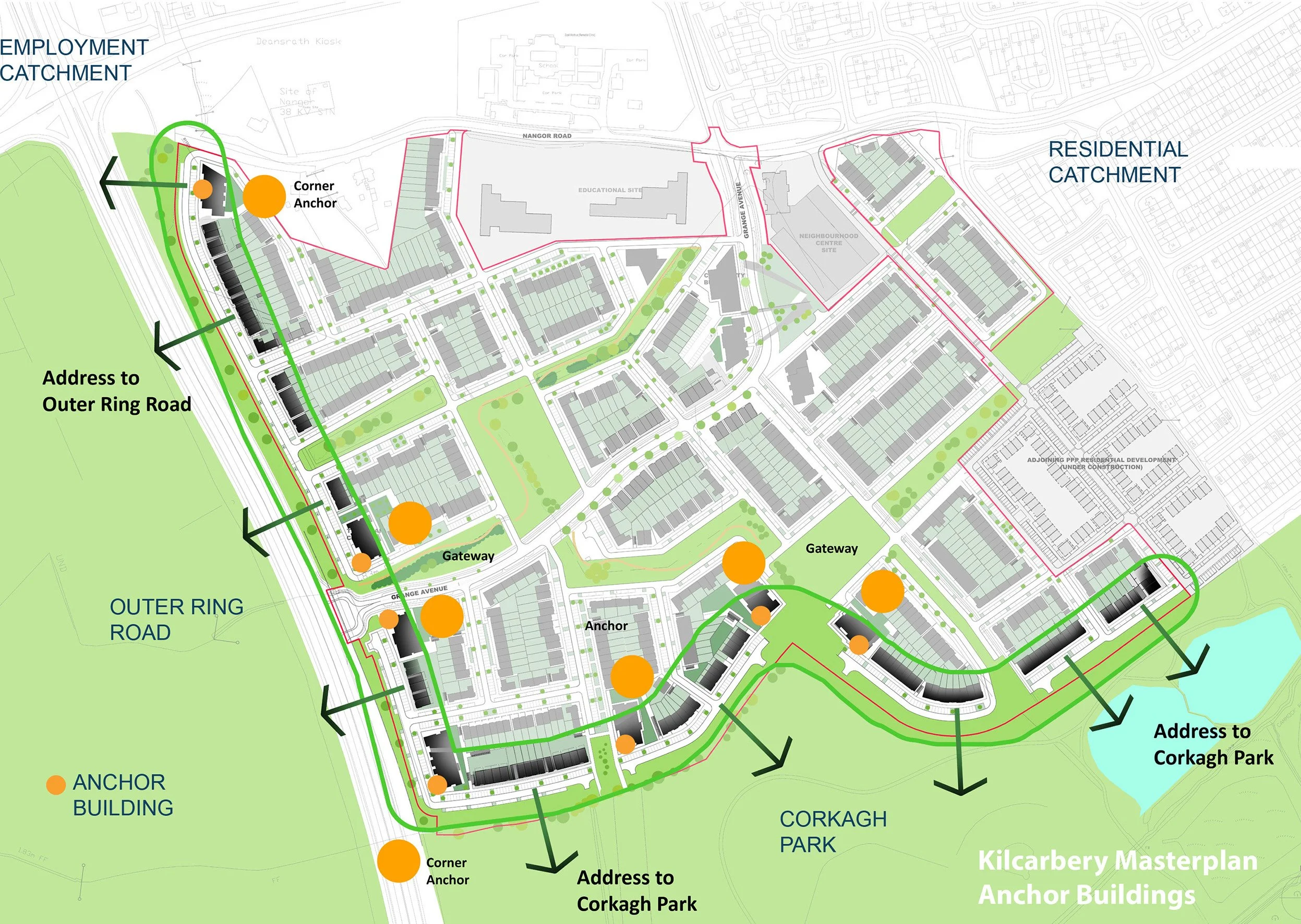
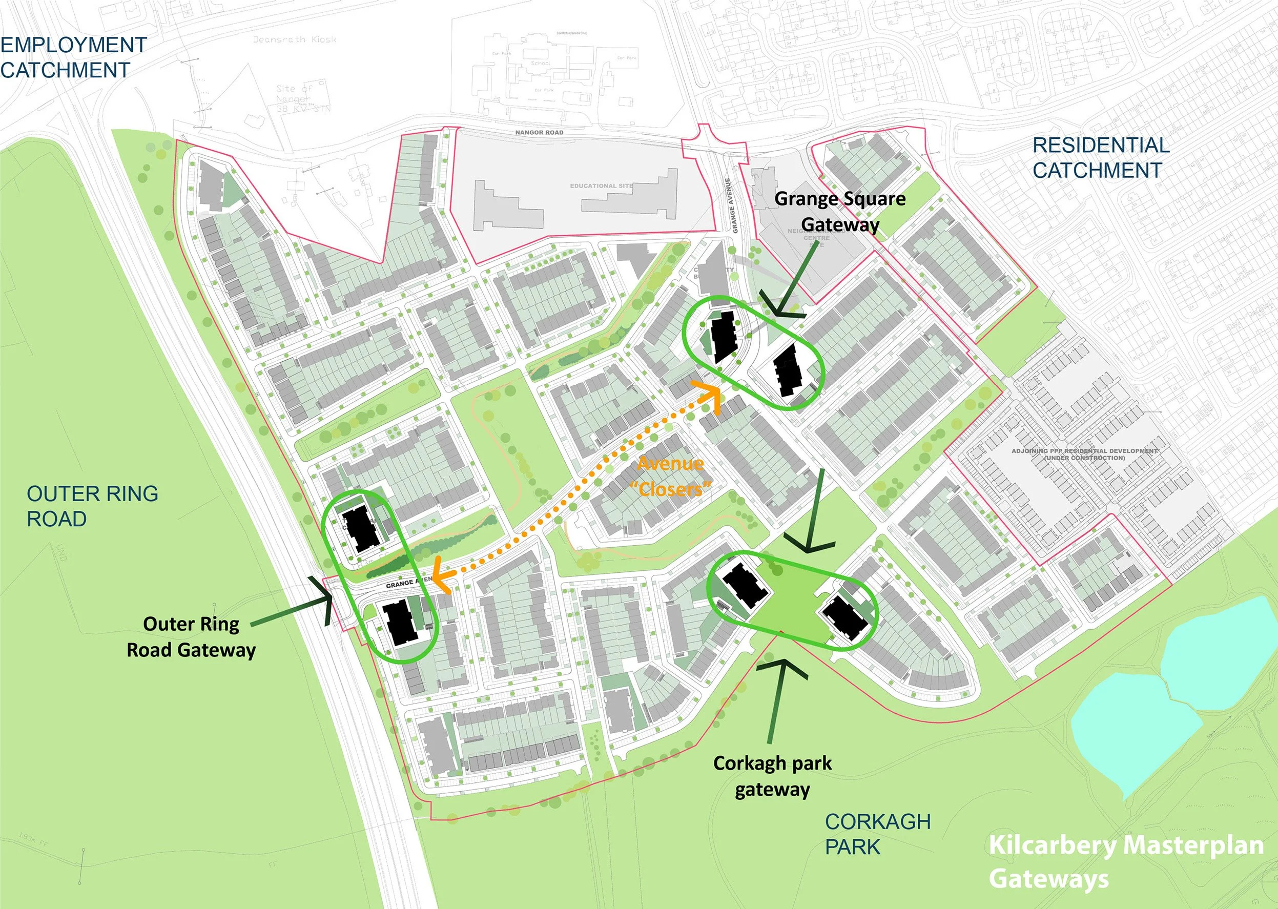
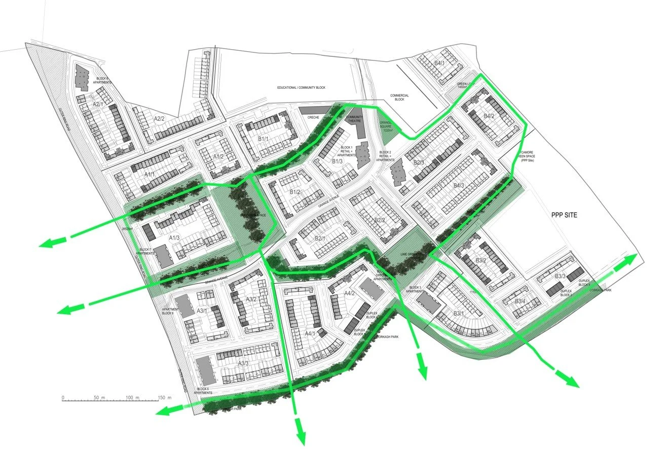
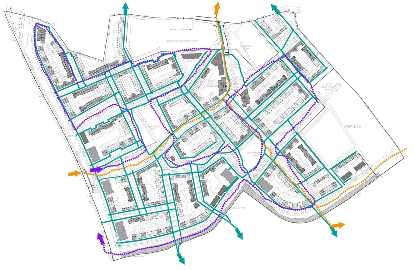
In line with the South Dublin County Council (SDCC) Kilcarbery Grange Masterplan, the layout of the scheme preserves and enhances the existing mature trees and hedgerows. These natural features have been transformed into green corridors, connecting the new homes with surrounding neighbourhoods, local employment zones, and the expansive Corkagh Park.
The development is shaped around three unique Character Areas, each reflecting the site’s natural landscape, ecology, and surrounding context. These areas introduce a rich mix of urban streetscapes and open spaces, designed to promote variety, placemaking, and a distinct sense of identity.
Completed: 2025
Client: Adwood LTD
RIAI Stages: 1 to 7
BER: A2 / A3
Site Area: 24.48Ha
Unit No. 1,043
Units per HA: 42
More Like This
Waterville, Blanchardstown
Citywest
Portmarnock
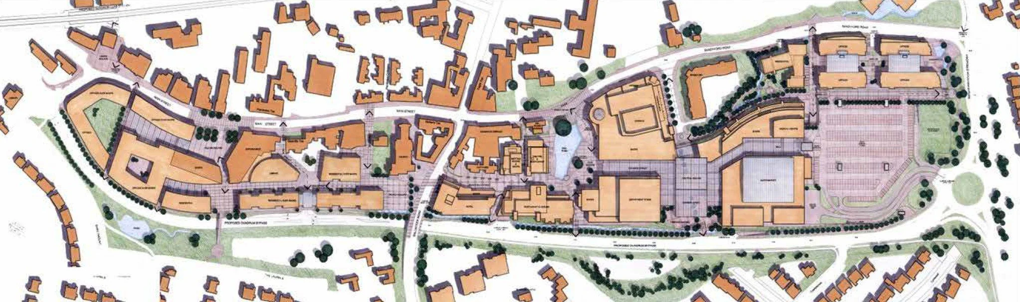
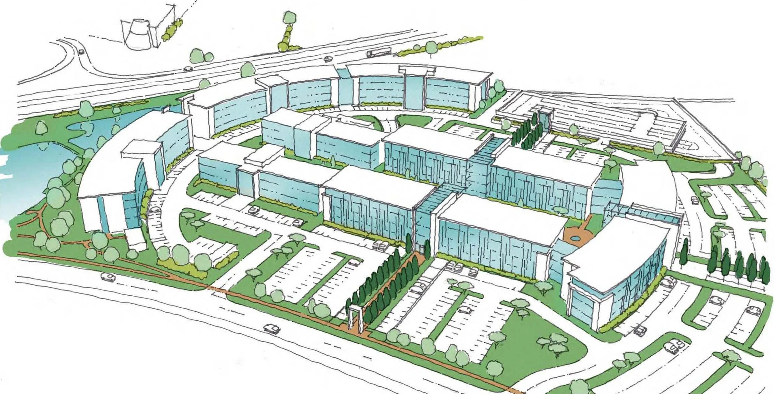
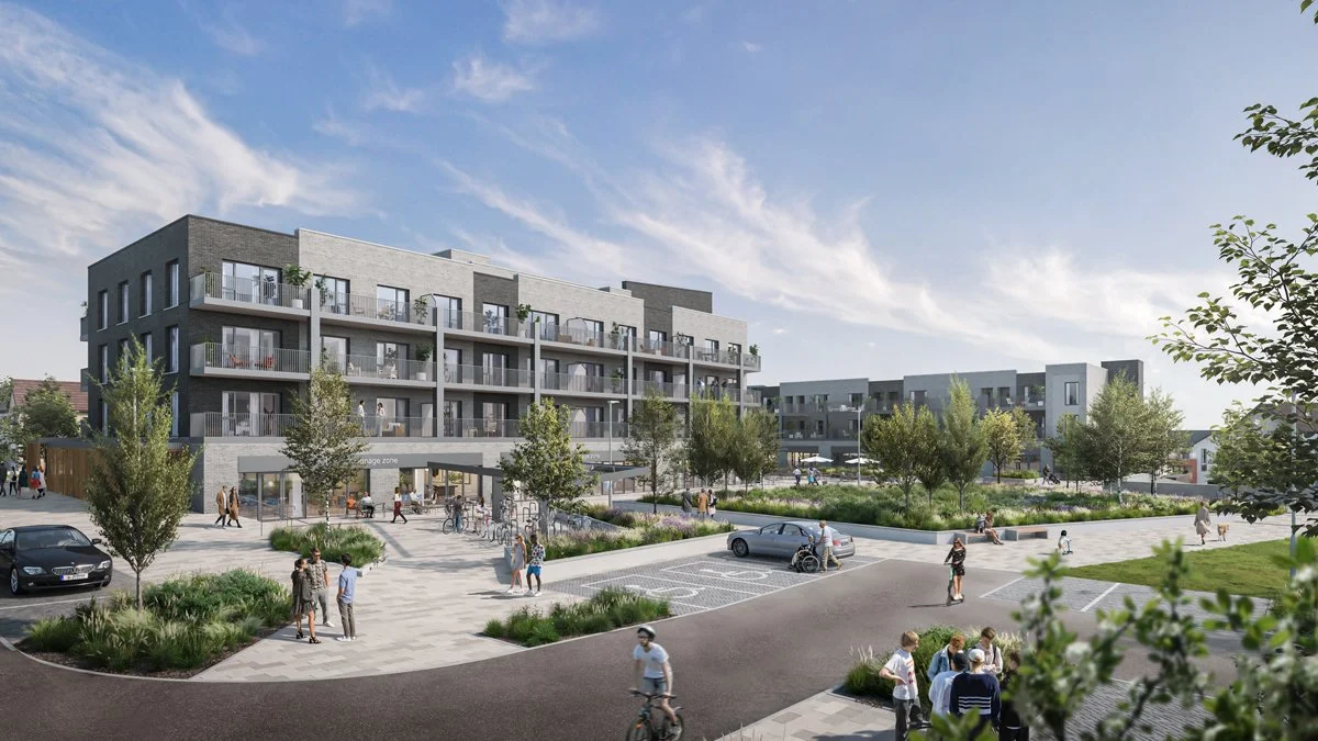
Dundrum
Kilbride, Arklow
Technical University of the Shannon
Bolands Mills